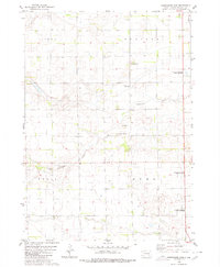
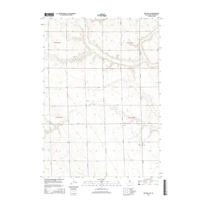
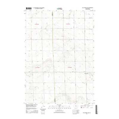
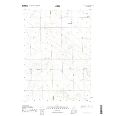
1980 Map of Old Stickney Lake
USGS Topo · Published 1980About this map
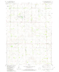
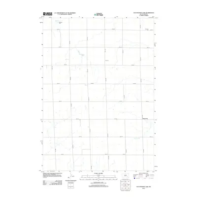
Old Stickney Lake sits at the heart of this prairie landscape, serving as a focal point for the Old Stickney Lake State Public Shooting Area and the nearby Nelson State Public Shooting Area. The terrain reflects the organized grid of the Great Plains, where township boundaries like Dudley, Union, Aurora, and Baker meet along the Aurora Co Davison Co line. This 1980 edition captures the rural infrastructure of the era, from the local Townhall to the small settlement of Metzgerville on the eastern edge. For those researching local family history, the map provides precise locations for the Nicolaisen Cem, Union Cem, and Zion Ch. Educational and industrial markers such as Baker Sch and a Gravel Pit further illustrate the sparse but deliberate distribution of human activity across these agricultural reaches.
Find a feature on this map
16 named features on this map. Tap any name to fly to it.
Don’t see what you’re looking for? This feature index may not catch every label — zoom into the map to look around manually.
Map Details
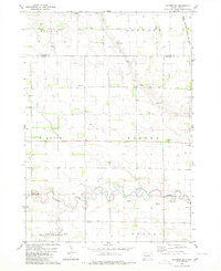
Editions of this 1980 Old Stickney Lake Map
This is the sole edition of this map. No revisions or reprints were ever made.
Historical Maps of Baker Township Through Time
25 maps found
1979 Letcher SW
Davison County, SD
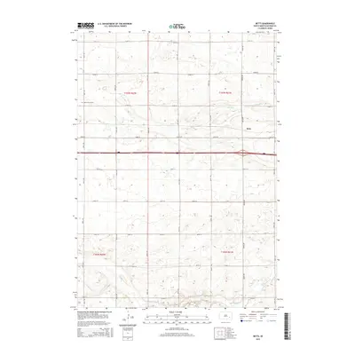
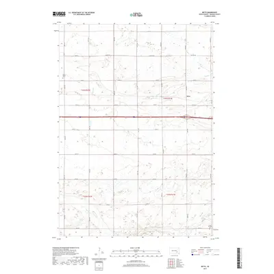
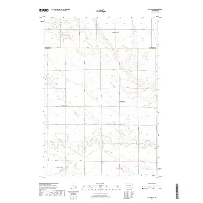
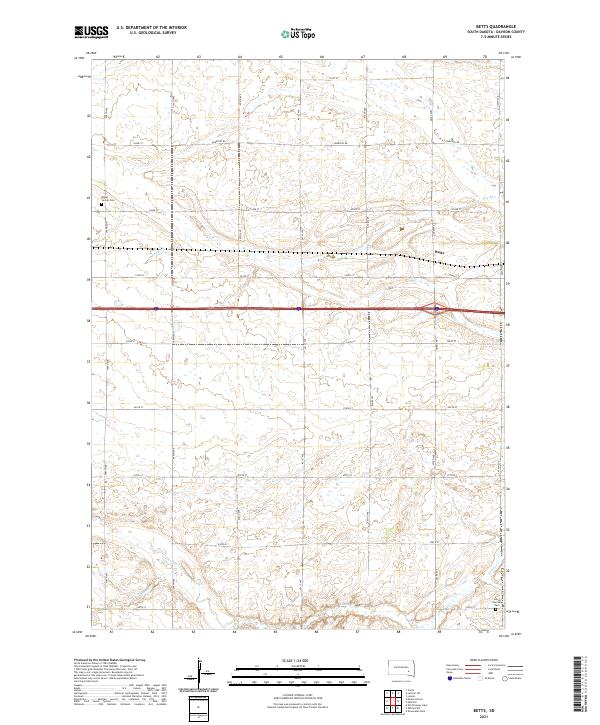
1980 Betts
Davison County, SD
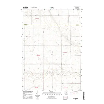
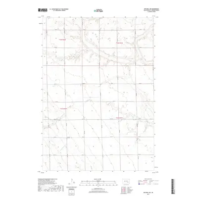
1980 Mitchell SW
Davison County, SD
1980 Old Stickney Lake
Davison County, SD
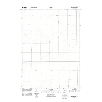
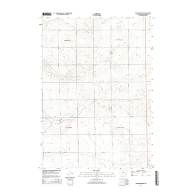
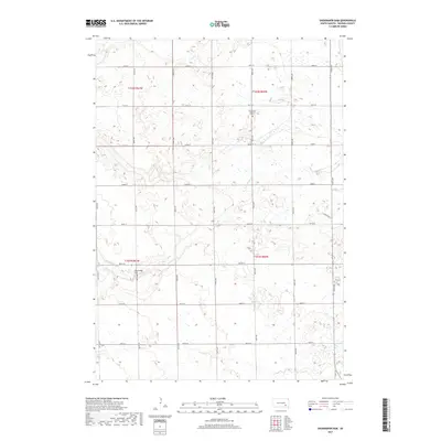
1980 Shoemaker Dam
Davison County, SD
2012 Betts
Davison County, SD
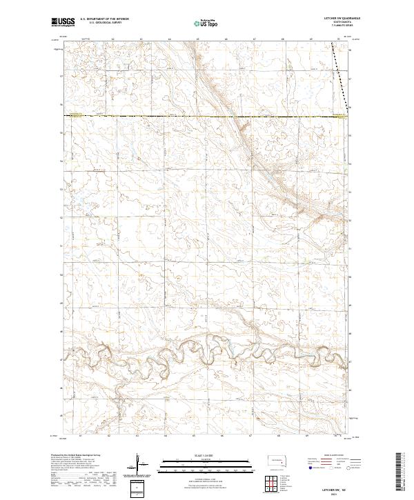
2012 Letcher SW
Davison County, SD
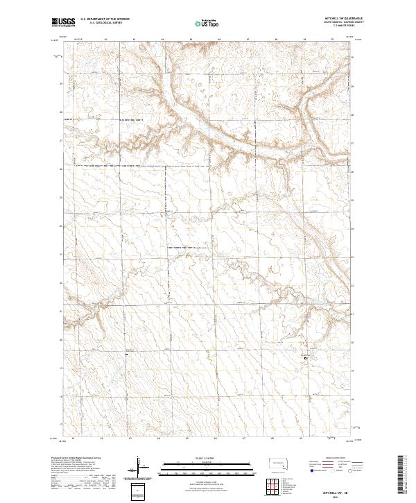
2012 Mitchell SW
Davison County, SD
2012 Old Stickney Lake
Davison County, SD
2012 Shoemaker Dam
Davison County, SD
2015 Betts
Davison County, SD
2015 Letcher SW
Davison County, SD
2015 Mitchell SW
Davison County, SD
2015 Old Stickney Lake
Davison County, SD
2015 Shoemaker Dam
Davison County, SD
2017 Betts
Davison County, SD
2017 Letcher SW
Davison County, SD
2017 Mitchell SW
Davison County, SD
2017 Old Stickney Lake
Davison County, SD
2017 Shoemaker Dam
Davison County, SD
2021 Betts
Davison County, SD
2021 Letcher SW
Davison County, SD
2021 Mitchell SW
Davison County, SD
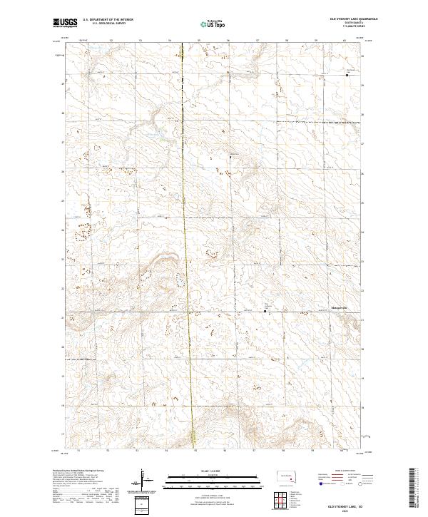
2021 Old Stickney Lake
Davison County, SD
2021 Shoemaker Dam
Davison County, SD
Featured Locations
- Aurora Township, SD
- Dudley Township, SD
- Union Township, SD
- Baker Township, SD
- Metzgerville, Baker Township