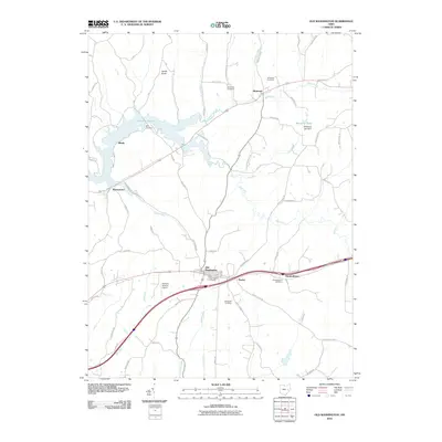
2010 Map of Old Washington
USGS Topo · Published 2010About this map
Old Washington sits at a historic crossroads in Guernsey County, where local routes like Zane Rd and the more modern interstate corridor intersect. This landscape is defined by the winding course of the Salt Fork and the significant footprint of the Salt Fork Reservoir to the northwest. Small, long-standing settlements like Elizabethtown, Easton, and Winterset anchor the surrounding rural territory, each maintaining its own distinct identity through local landmarks and burial grounds.
Find a feature on this map
58 named features on this map. Tap any name to fly to it.
Don’t see what you’re looking for? This feature index may not catch every label — zoom into the map to look around manually.
Map Details
Editions of this 2010 Old Washington Map
This is the sole edition of this map. No revisions or reprints were ever made.
Other maps of this area

1909 · Antrim
USGS Topo · 1:48,000

1909 · Summerfield
USGS Topo · 1:62,500

1909 · Cambridge
USGS Topo · 1:62,500

1911 · Antrim
USGS Topo · 1:62,500

1911 · Cumberland
USGS Topo · 1:62,500

1911 · Summerfield
USGS Topo · 1:62,500

1912 · Cambridge
USGS Topo · 1:62,500

1949 · Clarksburg
USGS Topo · 1:250,000

1951 · Canton
USGS Topo · 1:250,000

1953 · Canton
USGS Topo · 1:250,000