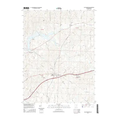
2016 Map of Old Washington
USGS Topo · Published 2016About this map
Old Washington and its surrounding Guernsey County townships are characterized by a transition from the rolling elevations of Devils Knob to the wide valley of Salt Fork. By the early 21st century, the landscape reflects a blend of historic thoroughfares and modern infrastructure, where the Old National Rd and E Pike Rd run parallel to the interstate corridor. For genealogists and local historians, the area is rich with ancestral markers, including the Old Washington Cem and Winterset Cem. The northern portion of the map is dominated by the waters of Salt Fork Lake, which submerged portions of the valley, while the eastern section features smaller settlements like Elizabethtown and Easton. Rural life is further mapped through landmarks such as Brothers Aviation and numerous small family-named roads like Shugert Ln and Fogle Rd.
Find a feature on this map
49 named features on this map. Tap any name to fly to it.
Don’t see what you’re looking for? This feature index may not catch every label — zoom into the map to look around manually.
Map Details
Editions of this 2016 Old Washington Map
This is the sole edition of this map. No revisions or reprints were ever made.
Other maps of this area

1909 · Antrim
USGS Topo · 1:48,000

1909 · Summerfield
USGS Topo · 1:62,500

1909 · Cambridge
USGS Topo · 1:62,500

1911 · Antrim
USGS Topo · 1:62,500

1911 · Cumberland
USGS Topo · 1:62,500

1911 · Summerfield
USGS Topo · 1:62,500

1912 · Cambridge
USGS Topo · 1:62,500

1949 · Clarksburg
USGS Topo · 1:250,000

1951 · Canton
USGS Topo · 1:250,000

1953 · Canton
USGS Topo · 1:250,000