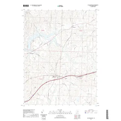
2019 Map of Old Washington
USGS Topo · Published 2019About this map
Old Washington serves as the central hub of this eastern Ohio landscape, situated where Old Church Rd and E Pike Rd converge. The topography is defined by the extensive reach of Salt Fork Lake to the northwest and the winding course of Salt Fork through the eastern sections. Small, established communities like Elizabethtown and Easton are clearly mapped, surrounded by numerous family and community burial grounds including Old Washington Cem, Elizabethtown Cem, and the remote McQuade Cem.
Find a feature on this map
52 named features on this map. Tap any name to fly to it.
Don’t see what you’re looking for? This feature index may not catch every label — zoom into the map to look around manually.
Map Details
Editions of this 2019 Old Washington Map
This is the sole edition of this map. No revisions or reprints were ever made.
Other maps of this area

1909 · Antrim
USGS Topo · 1:48,000

1909 · Summerfield
USGS Topo · 1:62,500

1909 · Cambridge
USGS Topo · 1:62,500

1911 · Antrim
USGS Topo · 1:62,500

1911 · Cumberland
USGS Topo · 1:62,500

1911 · Summerfield
USGS Topo · 1:62,500

1912 · Cambridge
USGS Topo · 1:62,500

1949 · Clarksburg
USGS Topo · 1:250,000

1951 · Canton
USGS Topo · 1:250,000

1953 · Canton
USGS Topo · 1:250,000