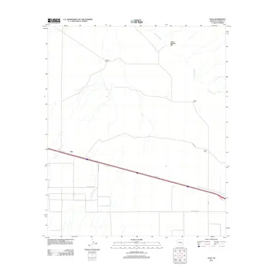
2011 Map of Olga
USGS Topo · Published 2011About this map
The San Simon River drainage defines the arid landscape of this Cochise County region, where livestock and infrastructure converge near the settlement of Olga. Cattle ranching is a central theme of the area's development, evidenced by the presence of West Well Corral, Triangle Ranch, and Garrett Ranch. These family-named holdings reflect the enduring pastoral economy of the High Desert during the early 21st century. Industrial activity is represented by the Yellow Hammer Mill located in the northern reaches of the quadrangle. The local road network, including Sellars Ranch Rd and the aptly named Last Outpost Rd, indicates a sparse but persistent human footprint. The map also records the path of Pipeline Rd, highlighting the intersection of traditional land use and modern resource transport across the Arizona desert.
Find a feature on this map
14 named features on this map. Tap any name to fly to it.
Don’t see what you’re looking for? This feature index may not catch every label — zoom into the map to look around manually.
Map Details
Editions of this 2011 Olga Map
This is the sole edition of this map. No revisions or reprints were ever made.
Other maps of this area
1917 · San Simon
USGS Topo · 1:125,000
1926 · Cochise Head
USGS Topo · 1:62,500
1926 · Orange Butte
USGS Topo · 1:62,500
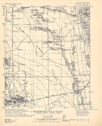
1928 · Chenoweth
USGS Topo · 1:62,500
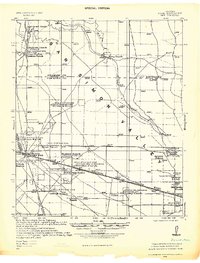
1928 · Bowie
USGS Topo · 1:62,500
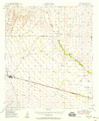
1949 · Bowie
USGS Topo · 1:62,500
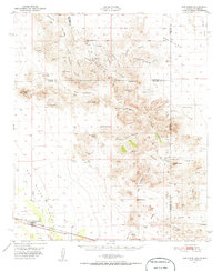
1950 · San Simon
USGS Topo · 1:62,500
1950 · Bowie
USGS Topo · 1:62,500
1950 · Cochise Head
USGS Topo · 1:62,500
1950 · Vanar
USGS Topo · 1:62,500