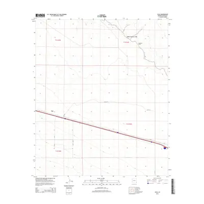
2014 Map of Olga
USGS Topo · Published 2014About this map
The San Simon Valley defines the topography of this high-desert region in Cochise County, where the dry bed of the San Simon River cuts through the northeast. This 2014 survey centers on the namesake settlement of Olga, a site historically tied to the Southern Pacific railroad line that bisects the landscape. The infrastructure here reflects a mix of transit and industry, most notably marked by the Yellow Hammer Mill located along the river's northern reach. A grid of local thoroughfares, including Olga Rd, Pipeline Rd, and Camino Sabrino, provides access to the surrounding townships and ranges. This edition captures the sparse but persistent human footprint in the Arizona desert, where mining history and rail transportation once anchored small outposts like Olga against the backdrop of the open valley.
Find a feature on this map
16 named features on this map. Tap any name to fly to it.
Don’t see what you’re looking for? This feature index may not catch every label — zoom into the map to look around manually.
Map Details
Editions of this 2014 Olga Map
This is the sole edition of this map. No revisions or reprints were ever made.
Other maps of this area
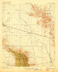
1917 · San Simon
USGS Topo · 1:125,000
1926 · Cochise Head
USGS Topo · 1:62,500
1926 · Orange Butte
USGS Topo · 1:62,500
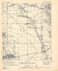
1928 · Chenoweth
USGS Topo · 1:62,500
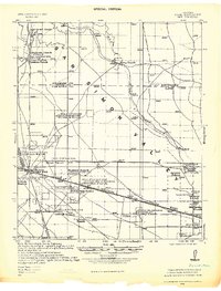
1928 · Bowie
USGS Topo · 1:62,500
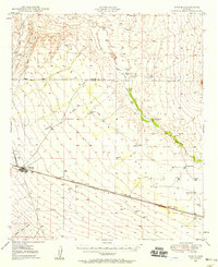
1949 · Bowie
USGS Topo · 1:62,500
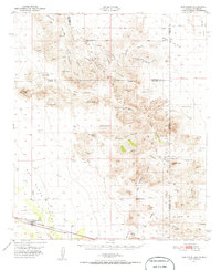
1950 · San Simon
USGS Topo · 1:62,500
1950 · Bowie
USGS Topo · 1:62,500
1950 · Cochise Head
USGS Topo · 1:62,500
1950 · Vanar
USGS Topo · 1:62,500