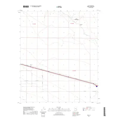
2018 Map of Olga
USGS Topo · Published 2018About this map
Olga sits along a modern transportation corridor in the San Simon Valley, a landscape defined by the drainage of the San Simon River. This high-desert terrain in Cochise County reflects a mix of traditional ranching and contemporary rural development, with various thoroughfares such as Sellers Ranch Rd and Last Outpost Rd cutting across the survey area. Evidence of historical industrial activity remains visible at the Yellow Hammer Mill, located in the northern reaches of the valley near the river's winding path. The road network, including Spanish-named routes like Cam Sobreano and Cam Sabrino, illustrates the ongoing human presence within this arid environment, providing a detailed look at the rural infrastructure and land management patterns of the late 2010s.
Find a feature on this map
20 named features on this map. Tap any name to fly to it.
Don’t see what you’re looking for? This feature index may not catch every label — zoom into the map to look around manually.
Map Details
Editions of this 2018 Olga Map
This is the sole edition of this map. No revisions or reprints were ever made.
Other maps of this area
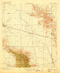
1917 · San Simon
USGS Topo · 1:125,000
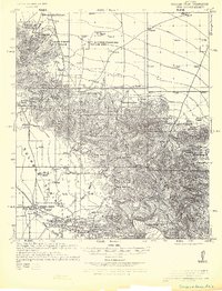
1926 · Cochise Head
USGS Topo · 1:62,500
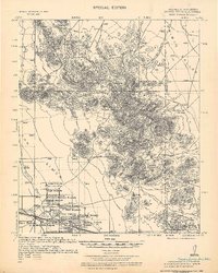
1926 · Orange Butte
USGS Topo · 1:62,500
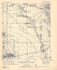
1928 · Chenoweth
USGS Topo · 1:62,500
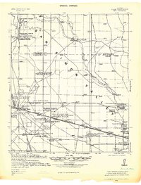
1928 · Bowie
USGS Topo · 1:62,500
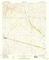
1949 · Bowie
USGS Topo · 1:62,500
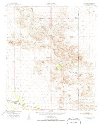
1950 · San Simon
USGS Topo · 1:62,500
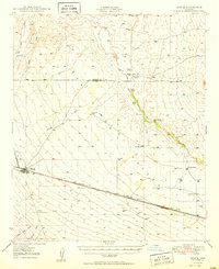
1950 · Bowie
USGS Topo · 1:62,500
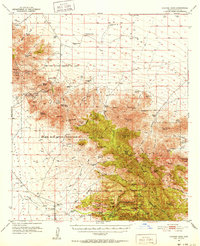
1950 · Cochise Head
USGS Topo · 1:62,500
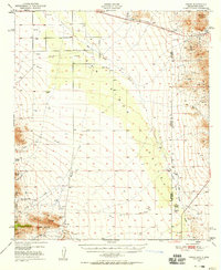
1950 · Vanar
USGS Topo · 1:62,500