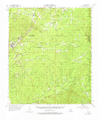
1955 Map of Olla
USGS Topo · Published 1975About this map
Olla and Kelly anchor this mid-century look at central Louisiana, where the Missouri Pacific railroad forms the spine of settlement between the Caldwell and La Salle Parish lines. The landscape is a network of creek drainages including Castor Creek, Chickasaw Creek, and the curiously named Funny Louis Bayou. Small rural communities and timber-related hubs like Standard and Summerville are documented alongside numerous country churches and family burial grounds, such as Harris Chapel Cemetery and St Joseph Cemetery. An Old Railroad Grade winding toward Nickel and Aimwell reveals the changing patterns of transportation as earlier logging lines gave way to modern roads. Further south, the Chalk Hills provide a distinct topographic break, marked by landmarks like the Lookout Tower near Olla and the springs at Aimwell Spring.
Find a feature on this map
67 named features on this map. Tap any name to fly to it.
Don’t see what you’re looking for? This feature index may not catch every label — zoom into the map to look around manually.
Map Details
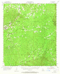
Editions of this 1955 Olla Map
3 editions found

Other maps of this area

1936 · Pollock
USGS Topo · 1:62,500

1939 · Fort Necessity
USGS Topo · 1:62,500

1940 · Columbia
USGS Topo · 1:62,500

1941 · Manifest
USGS Topo · 1:62,500

1941 · Jena
USGS Topo · 1:62,500

1941 · Pollock
USGS Topo · 1:62,500

1941 · Harrisonburg
USGS Topo · 1:62,500

1953 · Alexandria
USGS Topo · 1:250,000

1953 · Natchez
USGS Topo · 1:250,000

1954 · Sikes
USGS Topo · 1:62,500