
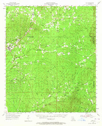
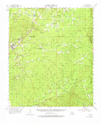
1955 Map of Olla
USGS Topo · Published 1956About this map
The Missouri Pacific Railroad corridors this mid-century landscape, connecting the parish line settlements of Kelly, Spaulding, and Standard with the hub of Olla. This central Louisiana terrain is defined by its intricate drainage networks, where Castor Creek and Bayou Funny Louis carve through a landscape marked by the Chalk Hills. Evidence of the region’s natural resource economy is visible through the Gas Well and various Gravel Pits found across the quadrangle.
Find a feature on this map
67 named features on this map. Tap any name to fly to it.
Don’t see what you’re looking for? This feature index may not catch every label — zoom into the map to look around manually.
Map Details
Editions of this 1955 Olla Map
3 editions found
Other maps of this area

1936 · Pollock
USGS Topo · 1:62,500

1939 · Fort Necessity
USGS Topo · 1:62,500

1940 · Columbia
USGS Topo · 1:62,500

1941 · Manifest
USGS Topo · 1:62,500

1941 · Jena
USGS Topo · 1:62,500

1941 · Pollock
USGS Topo · 1:62,500

1941 · Harrisonburg
USGS Topo · 1:62,500

1953 · Alexandria
USGS Topo · 1:250,000

1953 · Natchez
USGS Topo · 1:250,000

1954 · Sikes
USGS Topo · 1:62,500