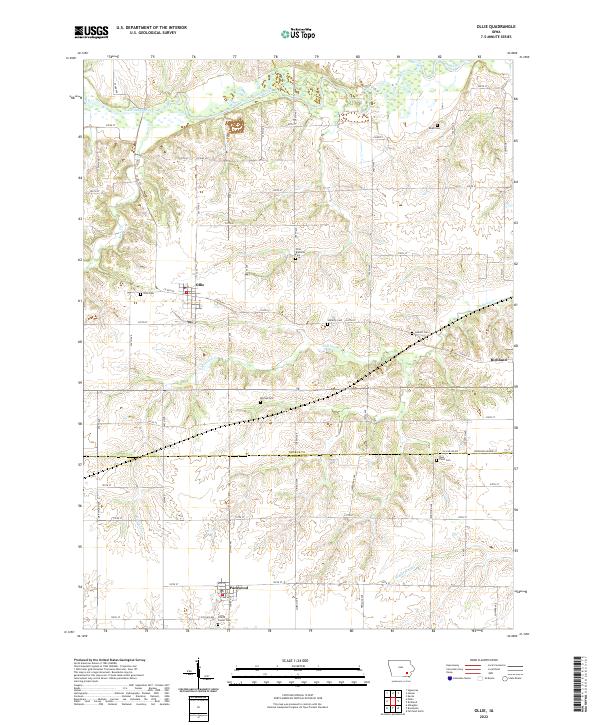
2022 Map of Ollie
USGS Topo · Published 2022About this map
The South Skunk River meanders across the northern portion of this landscape, carving a wide valley floor as it moves through the Iowa countryside. Centered on the town of Ollie, the map illustrates a rural area defined by its grid of country roads and agricultural heritage, where the boundaries of Keokuk and Jefferson counties meet. To the east and south, the smaller communities of Richland and Packwood anchor the local population, while the land between them is punctuated by numerous family and community burial grounds.
Find a feature on this map
38 named features on this map. Tap any name to fly to it.
Don’t see what you’re looking for? This feature index may not catch every label — zoom into the map to look around manually.
Map Details
Editions of this 2022 Ollie Map
This is the sole edition of this map. No revisions or reprints were ever made.
Other maps of this area

1954 · Des Moines
USGS Topo · 1:250,000

1956 · Des Moines
USGS Topo · 1:250,000

1957 · Des Moines
USGS Topo · 1:250,000

1958 · Davenport
USGS Topo · 1:250,000

1961 · Davenport
USGS Topo · 1:250,000

1962 · Davenport
USGS Topo · 1:250,000

1965 · Harper
USGS Topo · 1:24,000

1965 · Sigourney
USGS Topo · 1:24,000

1969 · Des Moines
USGS Topo · 1:250,000
1973 · Keota
USGS Topo · 1:24,000