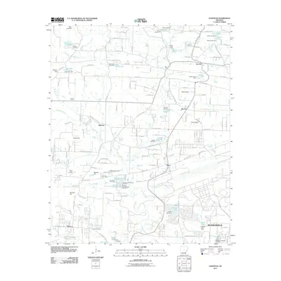
2011 Map of Olmstead
USGS Topo · Published 2011About this map
Bayou Meto and its numerous tributaries, including Bridge Creek and Leopard Creek, define the landscape of northern Pulaski County. This 2011 survey reveals a complex network of small residential settlements and agricultural lands surrounding Olmstead, Macon, and Warsaw. The presence of several established burial grounds, such as Harmony Cemetery and Gibson Cemetery, provides significant data points for genealogists tracing local families.
Find a feature on this map
168 named features on this map. Tap any name to fly to it.
Don’t see what you’re looking for? This feature index may not catch every label — zoom into the map to look around manually.
Map Details
Editions of this 2011 Olmstead Map
This is the sole edition of this map. No revisions or reprints were ever made.
Other maps of this area

1891 · Little Rock
USGS Topo · 1:125,000

1893 · Little Rock
USGS Topo · 1:125,000

1935 · Mc Almont
USGS Topo · 1:24,000

1935 · North Little Rock
USGS Topo · 1:24,000

1941 · Olmstead
USGS Topo · 1:31,680

1941 · Cabot
USGS Topo · 1:31,680

1943 · Jacksonville
USGS Topo · 1:31,680

1953 · Cato
USGS Topo · 1:24,000

1954 · Mc Almont
USGS Topo · 1:24,000

1954 · Olmstead
USGS Topo · 1:24,000