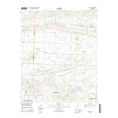
2014 Map of Olmstead
USGS Topo · Published 2014About this map
Olmstead and Macon sit at the center of this Pulaski County landscape, where the flatlands of the Mississippi Alluvial Plain begin to meet the rising terrain of the Arkansas interior. The drainage of Bayou Meto and Jacks Bayou dictates the local geography, winding through a network of small lakes like Gribble Lake and Faulkner Lake. The northern edge of the Little Rock Air Force Base occupies the southeastern corner, while the suburban expansion of Sherwood and North Little Rock pushes upward from the south.
Find a feature on this map
132 named features on this map. Tap any name to fly to it.
Don’t see what you’re looking for? This feature index may not catch every label — zoom into the map to look around manually.
Map Details
Editions of this 2014 Olmstead Map
This is the sole edition of this map. No revisions or reprints were ever made.
Other maps of this area

1891 · Little Rock
USGS Topo · 1:125,000

1893 · Little Rock
USGS Topo · 1:125,000

1935 · Mc Almont
USGS Topo · 1:24,000

1935 · North Little Rock
USGS Topo · 1:24,000

1941 · Olmstead
USGS Topo · 1:31,680

1941 · Cabot
USGS Topo · 1:31,680

1943 · Jacksonville
USGS Topo · 1:31,680

1953 · Cato
USGS Topo · 1:24,000

1954 · Mc Almont
USGS Topo · 1:24,000

1954 · Olmstead
USGS Topo · 1:24,000