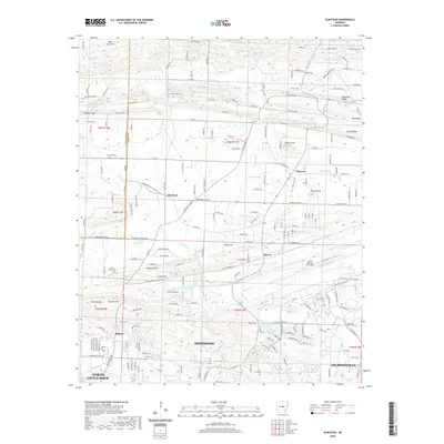
2020 Map of Olmstead
USGS Topo · Published 2020About this map
Sherwood and the northern outskirts of North Little Rock anchor this survey of central Arkansas, where the suburban landscape meets the rising elevations of the interior. The expansive grounds of the Little Rock Air Force Base dominate the eastern portion of the sheet, while smaller rural communities like Olmstead, Macon, and Warsaw dot the northern landscape. Local history is traced through several family-named landmarks and resting places, including Harmony Cem and Gibson Cem. The terrain is characterized by a series of prominent ridges and knobs, such as Backbone Ridge, Wilson Knob, and Frenchman Mountain. Water remains a central feature of the topography, with Bayou Meto winding through the center, feeding numerous small reservoirs and named lakes like Laman Lake, Jackson Lake, and Gribble Lake.
Find a feature on this map
215 named features on this map. Tap any name to fly to it.
Don’t see what you’re looking for? This feature index may not catch every label — zoom into the map to look around manually.
Map Details
Editions of this 2020 Olmstead Map
This is the sole edition of this map. No revisions or reprints were ever made.
Other maps of this area

1891 · Little Rock
USGS Topo · 1:125,000

1893 · Little Rock
USGS Topo · 1:125,000

1935 · Mc Almont
USGS Topo · 1:24,000

1935 · North Little Rock
USGS Topo · 1:24,000

1941 · Olmstead
USGS Topo · 1:31,680

1941 · Cabot
USGS Topo · 1:31,680

1943 · Jacksonville
USGS Topo · 1:31,680

1953 · Cato
USGS Topo · 1:24,000

1954 · Mc Almont
USGS Topo · 1:24,000

1954 · Olmstead
USGS Topo · 1:24,000