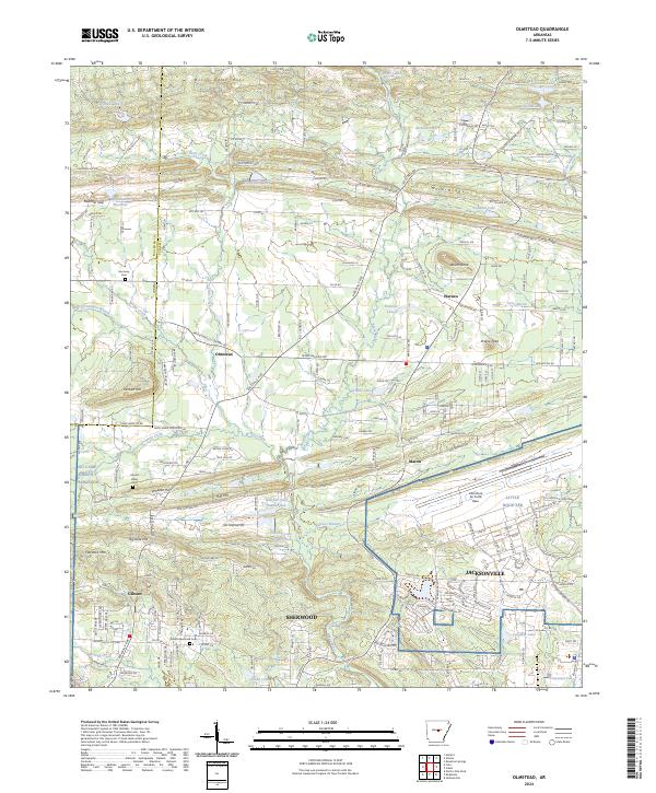
2024 Map of Olmstead
USGS Topo · Published 2024About this map
Sherwood and Jacksonville anchor the southern portion of this Pulaski County landscape, where the modern urban footprint meets the winding waters of Bayou Meto. The map documents a complex mix of residential expansion and significant military installations, most notably the Little Rock Air Force Base and a portion of NG Camp Joseph T Robinson. The terrain rises from the bayou lowlands toward prominent elevations like Billy Goat Hill and Big Rock Hill, creating a varied topography that has influenced the placement of older crossroads communities such as Olmstead and Macon. Family and local history is preserved in sites like Harmony Cem and the Gibson Memorial Cem, while the hydrologic network is defined by numerous smaller catchments including Hatcher Lake Number One and Laman Lake.
Find a feature on this map
229 named features on this map. Tap any name to fly to it.
Don’t see what you’re looking for? This feature index may not catch every label — zoom into the map to look around manually.
Map Details
Editions of this 2024 Olmstead Map
This is the sole edition of this map. No revisions or reprints were ever made.
Other maps of this area

1891 · Little Rock
USGS Topo · 1:125,000

1893 · Little Rock
USGS Topo · 1:125,000

1935 · Mc Almont
USGS Topo · 1:24,000

1935 · North Little Rock
USGS Topo · 1:24,000

1941 · Olmstead
USGS Topo · 1:31,680

1941 · Cabot
USGS Topo · 1:31,680

1943 · Jacksonville
USGS Topo · 1:31,680

1953 · Cato
USGS Topo · 1:24,000

1954 · Mc Almont
USGS Topo · 1:24,000

1954 · Olmstead
USGS Topo · 1:24,000