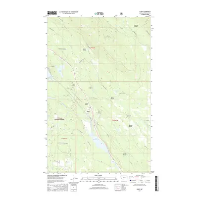
2017 Map of Olney
USGS Topo · Published 2017About this map
Olney sits at the heart of this high-country landscape, positioned along the Stillwater River between Upper Stillwater Lake and Lower Stillwater Lake. The settlement serves as a focal point for the surrounding Flathead National Forest, where a network of access roads like Lupper Rd and Martin Creek Rd reach into the timbered slopes. The geography is characterized by an unusual density of named alpine meadows, which likely served as early navigational landmarks or grazing areas. These include Ritsenburg Meadow, Skunk Meadow, Purple Meadow, and Bootjack Meadow. High-elevation water features like Dog Lake and Martin Lakes are tucked beneath peaks such as Dog Mtn, while the drainage of Swift Cr and Antice Cr defines the northern reaches. This 2017 survey details the established forest management infrastructure and modern transportation corridors through this part of Flathead County.
Find a feature on this map
48 named features on this map. Tap any name to fly to it.
Don’t see what you’re looking for? This feature index may not catch every label — zoom into the map to look around manually.
Map Details
Editions of this 2017 Olney Map
This is the sole edition of this map. No revisions or reprints were ever made.
Other maps of this area
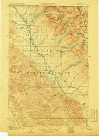
1906 · Kintla Lakes
USGS Topo · 1:125,000
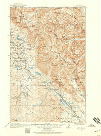
1913 · Stryker
USGS Topo · 1:125,000
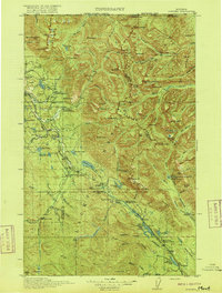
1916 · Stryker
USGS Topo · 1:125,000
1938 · Kintla Lakes
USGS Topo · 1:125,000
1943 · Kalispell
USGS Topo · 1:125,000
1957 · Kalispell
USGS Topo · 1:250,000
1960 · Kalispell
USGS Topo · 1:250,000
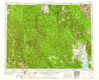
1961 · Kalispell
USGS Topo · 1:250,000
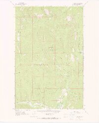
1962 · Johnson Peak
USGS Topo · 1:24,000
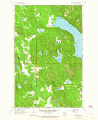
1962 · Beaver Lake
USGS Topo · 1:24,000