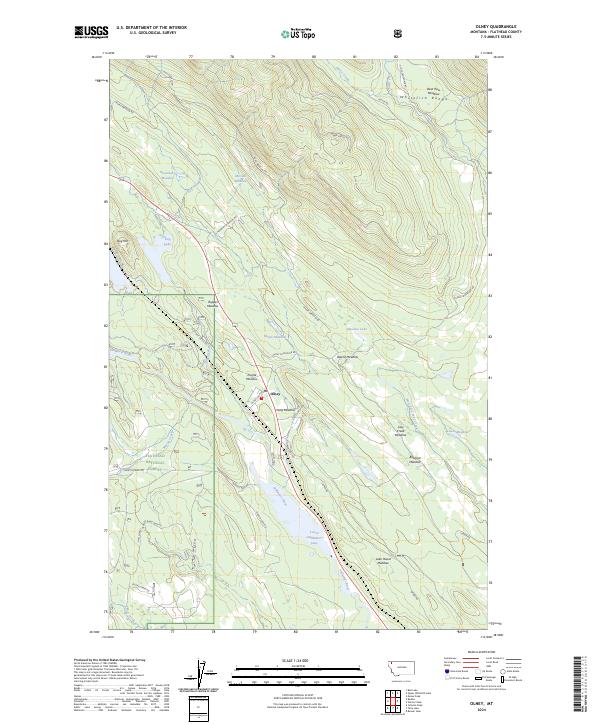
2024 Map of Olney
USGS Topo · Published 2024About this map
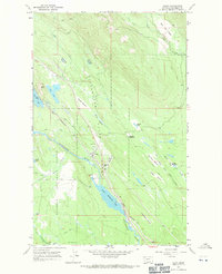
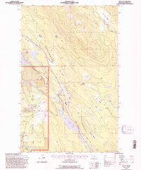
The settlement of Olney occupies a central position along the Stillwater River valley, situated between the southern slopes of the Whitefish Range and the dense timberlands of the Flathead National Forest. This modern survey highlights a landscape defined by its hydrography and alpine meadows, where the river feeds into Lower Stillwater Lake to the south. The terrain is notably etched with family-named clearings and wetlands such as Ritsenburg Meadow, McGabe Meadow, and Bootjack Meadow, suggesting a history of high-country grazing and early homesteading within the drainage of Lazy Creek and Swift Creek.
Find a feature on this map
46 named features on this map. Tap any name to fly to it.
Don’t see what you’re looking for? This feature index may not catch every label — zoom into the map to look around manually.
Map Details
Editions of this 2024 Olney Map
This is the sole edition of this map. No revisions or reprints were ever made.