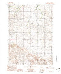
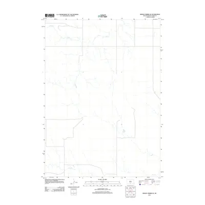
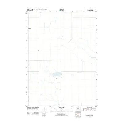
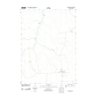
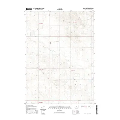
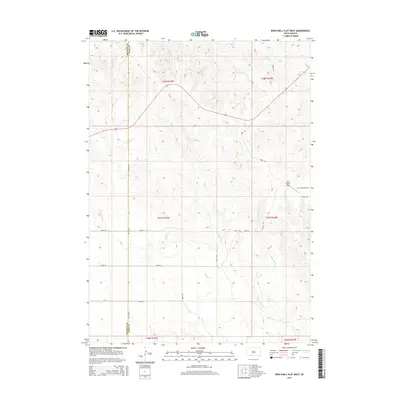
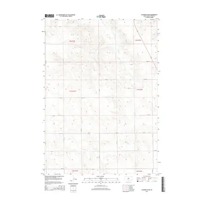
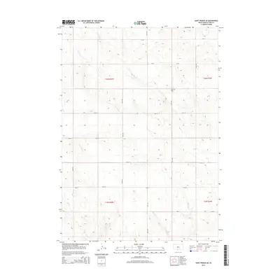
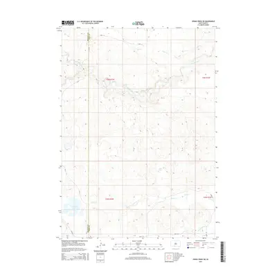
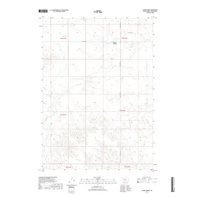
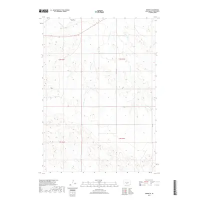
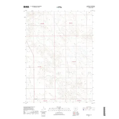
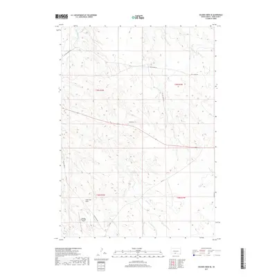
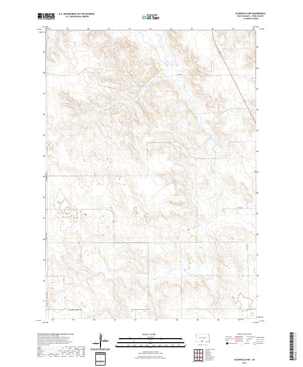
1982 Map of Olsonville SE
USGS Topo · Published 1982About this map
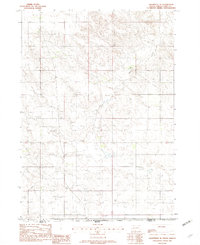
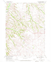
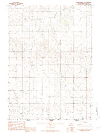
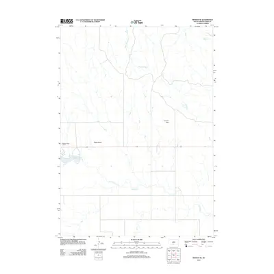
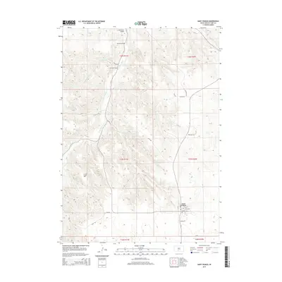
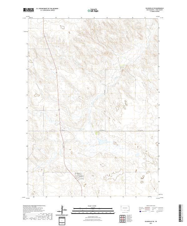
The state line between South Dakota and Nebraska cuts across the southern margin of this 1982 provisional survey, documenting a rural landscape along the border of Todd Co and Cherry Co. The geography is defined by a dendritic network of drainage channels, most notably the winding course of Rock Creek and another unnamed Creek that carve through the prairie. This edition reflects the land as it appeared in the mid-1970s and early 1980s, primarily characterized by open terrain and township divisions such as T 36 N and T 35 N. The map provides a detailed view of the natural watercourses and the sparse road network that connects these borderlands during the late twentieth century.
Find a feature on this map
5 named features on this map. Tap any name to fly to it.
Don’t see what you’re looking for? This feature index may not catch every label — zoom into the map to look around manually.
Map Details
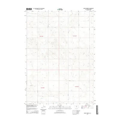
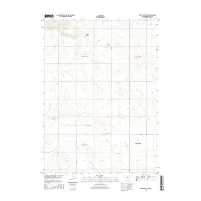
Editions of this 1982 Olsonville SE Map
This is the sole edition of this map. No revisions or reprints were ever made.
Historical Maps of Rosebud Through Time
89 maps found

1969 Eagle Mans Butte
Todd County, SD
1969 Iron Shell Flat East
Todd County, SD
1969 Iron Shell Flat West
Todd County, SD

1969 Olsonville NW
Todd County, SD
1969 Olsonville SW
Todd County, SD
1969 Soldier Creek SE
Todd County, SD

1969 Spring Creek SW
Todd County, SD
1969 St. Francis SE
Todd County, SD
1969 St. Francis SW
Todd County, SD
1982 Hidden Timber NE
Todd County, SD
1982 Hidden Timber SE
Todd County, SD
1982 Hidden Timber
Todd County, SD
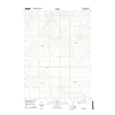
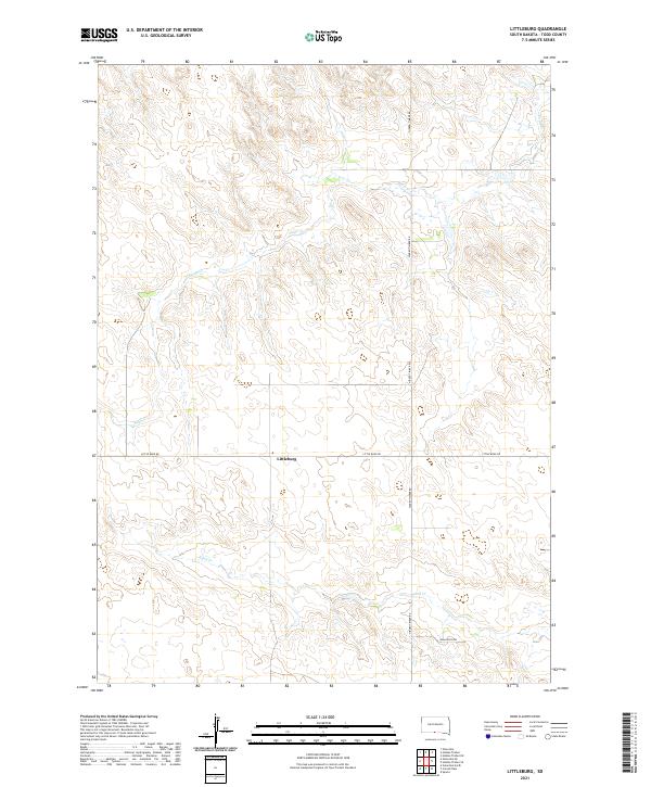
1982 Littleburg
Todd County, SD
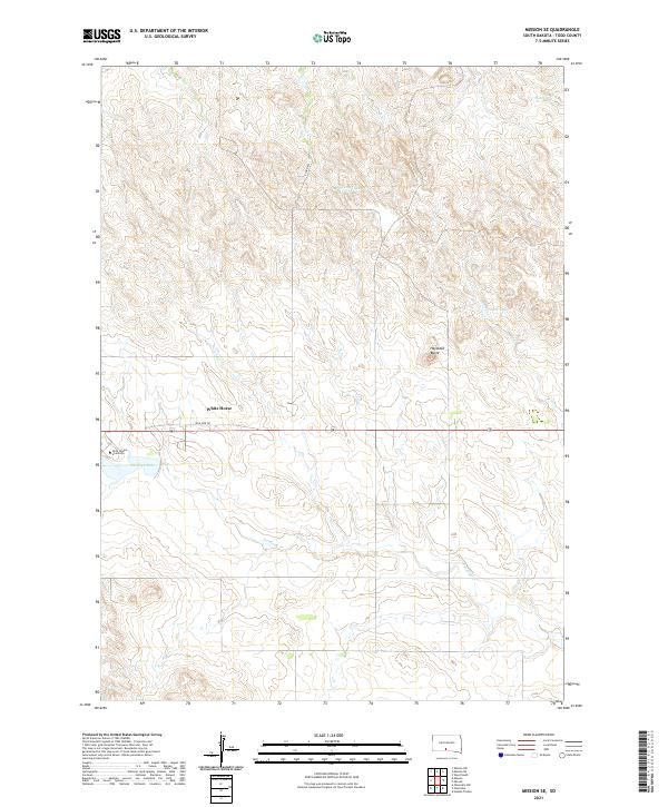
1982 Mission SE
Todd County, SD
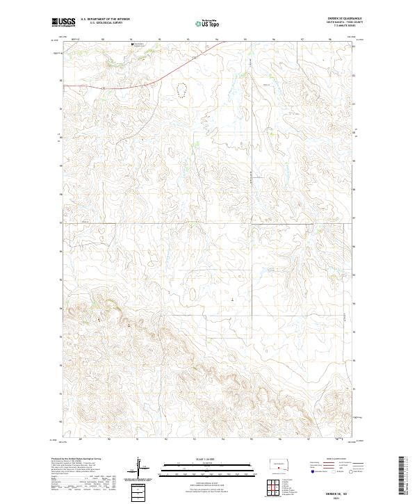
1982 Okreek SE
Todd County, SD
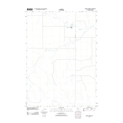
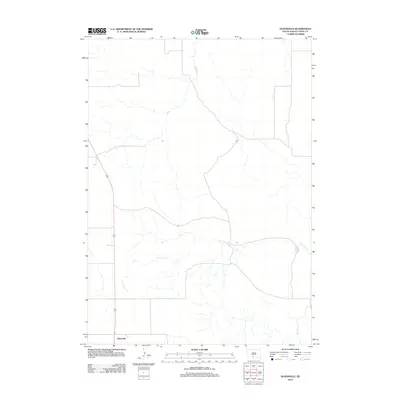
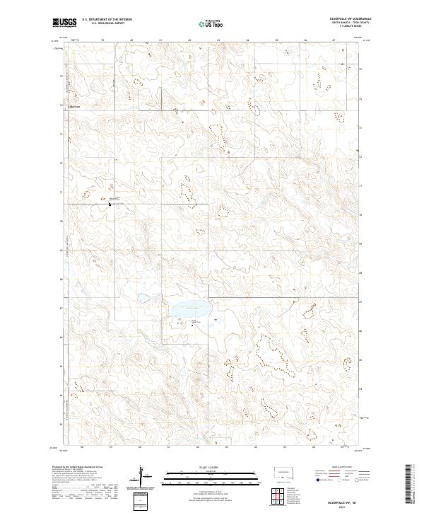
1982 Olsonville SE
Todd County, SD
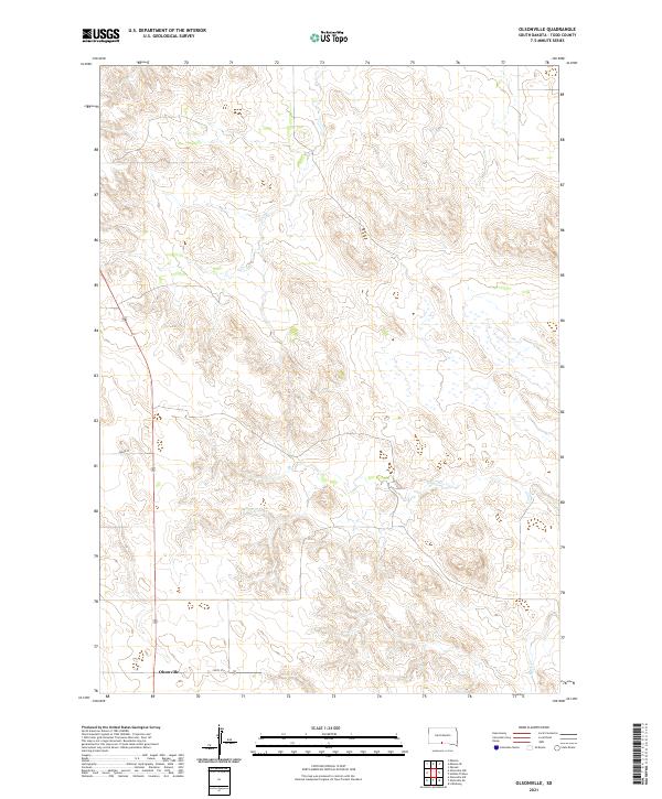
1982 Olsonville
Todd County, SD
2012 Eagle Mans Butte
Todd County, SD
2012 Hidden Timber NE
Todd County, SD
2012 Hidden Timber SE
Todd County, SD
2012 Hidden Timber
Todd County, SD

2012 Iron Shell Flat East
Todd County, SD
2012 Iron Shell Flat West
Todd County, SD
2012 Littleburg
Todd County, SD
2012 Mission SE
Todd County, SD
2012 Okreek SE
Todd County, SD
2012 Olsonville NW
Todd County, SD
2012 Olsonville SE
Todd County, SD
2012 Olsonville SW
Todd County, SD
2012 Olsonville
Todd County, SD
2012 Saint Francis SE
Todd County, SD
2012 Saint Francis SW
Todd County, SD
2012 Saint Francis
Todd County, SD
2012 Soldier Creek SE
Todd County, SD
2012 Spring Creek SW
Todd County, SD
2015 Eagle Mans Butte
Todd County, SD
2015 Hidden Timber NE
Todd County, SD
2015 Hidden Timber SE
Todd County, SD
2015 Hidden Timber
Todd County, SD
2015 Iron Shell Flat East
Todd County, SD
2015 Iron Shell Flat West
Todd County, SD
2015 Littleburg
Todd County, SD
2015 Mission SE
Todd County, SD
2015 Okreek SE
Todd County, SD
2015 Olsonville NW
Todd County, SD
2015 Olsonville SE
Todd County, SD
2015 Olsonville SW
Todd County, SD
2015 Olsonville
Todd County, SD
2015 Saint Francis SE
Todd County, SD
2015 Saint Francis SW
Todd County, SD
2015 Saint Francis
Todd County, SD
2015 Soldier Creek SE
Todd County, SD
2015 Spring Creek SW
Todd County, SD
2017 Eagle Mans Butte
Todd County, SD
2017 Hidden Timber NE
Todd County, SD
2017 Hidden Timber SE
Todd County, SD
2017 Hidden Timber
Todd County, SD

2017 Iron Shell Flat East
Todd County, SD
2017 Iron Shell Flat West
Todd County, SD
2017 Littleburg
Todd County, SD
2017 Mission SE
Todd County, SD
2017 Okreek SE
Todd County, SD
2017 Olsonville NW
Todd County, SD
2017 Olsonville SE
Todd County, SD
2017 Olsonville SW
Todd County, SD
2017 Olsonville
Todd County, SD
2017 Saint Francis SE
Todd County, SD
2017 Saint Francis SW
Todd County, SD
2017 Saint Francis
Todd County, SD
2017 Soldier Creek SE
Todd County, SD
2017 Spring Creek SW
Todd County, SD
2021 Eagle Mans Butte
Todd County, SD
2021 Hidden Timber NE
Todd County, SD
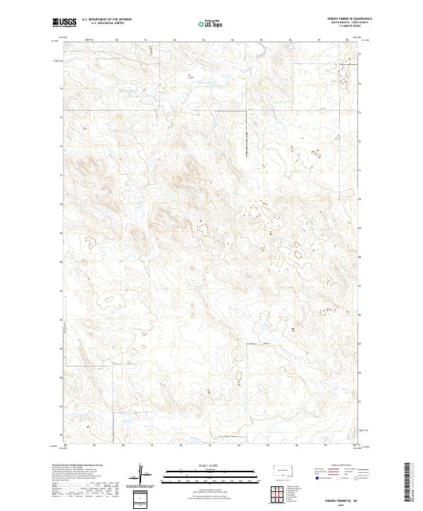
2021 Hidden Timber SE
Todd County, SD
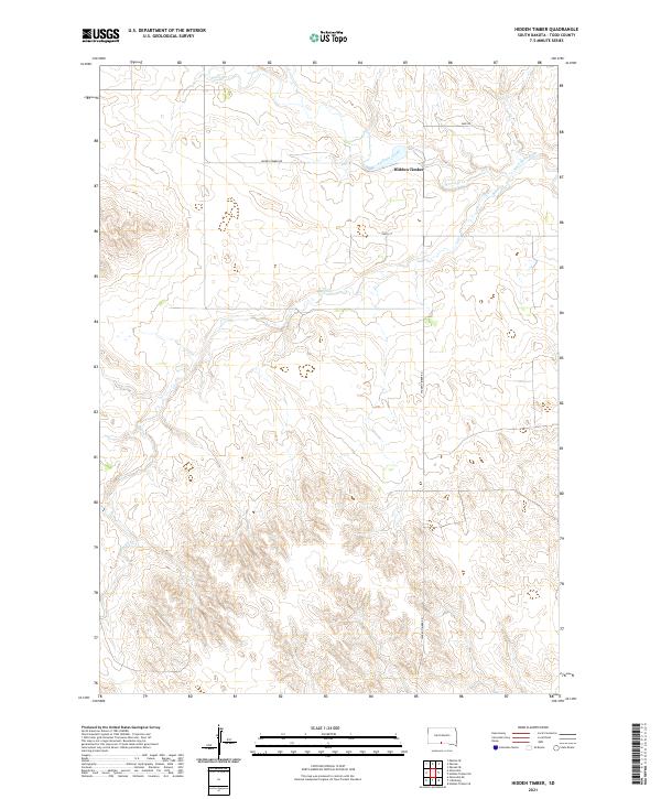
2021 Hidden Timber
Todd County, SD
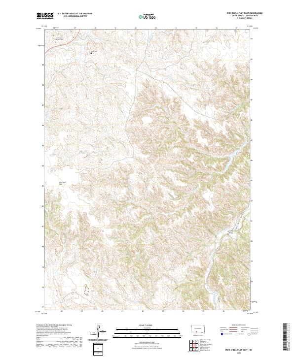
2021 Iron Shell Flat East
Todd County, SD
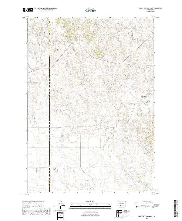
2021 Iron Shell Flat West
Todd County, SD
2021 Littleburg
Todd County, SD
2021 Mission SE
Todd County, SD
2021 Okreek SE
Todd County, SD
2021 Olsonville NW
Todd County, SD
2021 Olsonville SE
Todd County, SD
2021 Olsonville SW
Todd County, SD
2021 Olsonville
Todd County, SD
2021 Saint Francis SE
Todd County, SD
2021 Saint Francis SW
Todd County, SD
2021 Saint Francis
Todd County, SD
2021 Soldier Creek SE
Todd County, SD
2021 Spring Creek SW
Todd County, SD
Featured Locations
- United States
- Todd County, SD
- Antelope Segment, SD
- Rosebud, Antelope Segment
- Sicangu Village, Antelope Segment