
1982 Map of Hidden Timber
USGS Topo · Published 1982About this map
Hidden Timber serves as a focal point for this section of Todd County, where the topography is defined by the winding course of the Keya Paha River and its various tributaries. The landscape is marked by the drainages of Antelope Creek and Rock Creek, which cut through the high plains terrain. A notable institutional landmark is the Klein Sch, situated centrally to serve the rural community of the late 1970s and early 1980s. This survey, based on 1977 field checks, documents the sparse but vital infrastructure of the Rosebud Reservation, showing the relationship between small educational centers and the natural watercourses that shaped the regional road network.
Find a feature on this map
8 named features on this map. Tap any name to fly to it.
Don’t see what you’re looking for? This feature index may not catch every label — zoom into the map to look around manually.
Map Details
Editions of this 1982 Hidden Timber Map
This is the sole edition of this map. No revisions or reprints were ever made.
Other maps of this area

1955 · Martin
USGS Topo · 1:250,000

1958 · Martin
USGS Topo · 1:250,000

1982 · Olsonville
USGS Topo · 1:24,000

1982 · Olsonville SE
USGS Topo · 1:24,000

1982 · Okreek
USGS Topo · 1:25,000

1982 · Hidden Timber SE
USGS Topo · 1:24,000

1982 · Okreek SE
USGS Topo · 1:24,000

1982 · Mission SE
USGS Topo · 1:24,000
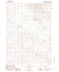
1982 · Hidden Timber NE
USGS Topo · 1:24,000
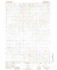
1982 · Littleburg
USGS Topo · 1:24,000