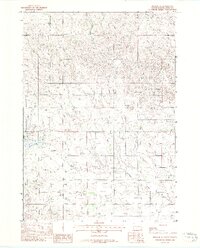
1982 Map of Mission SE
USGS Topo · Published 1982About this map
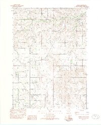
Antelope sits at the heart of this South Dakota landscape, characterized by the winding drainage of Antelope Creek and the notable waters of Antelope Lake. This 1980s-era documentation reflects the topography of the Rosebud Indian Reservation, where the terrain is punctuated by significant landmarks like Haystack Butte. The drainage patterns are further defined by White Thunder Creek in the northern portion of the sheet. The map illustrates a rural environment primarily shaped by natural features and local water resources, with limited infrastructure centered around the namesake settlement of Antelope.
Find a feature on this map
7 named features on this map. Tap any name to fly to it.
Don’t see what you’re looking for? This feature index may not catch every label — zoom into the map to look around manually.
Map Details
Editions of this 1982 Mission SE Map
This is the sole edition of this map. No revisions or reprints were ever made.
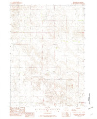
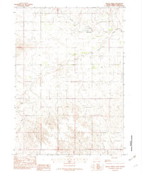
Other maps of this area

1955 · Martin
USGS Topo · 1:250,000

1958 · Martin
USGS Topo · 1:250,000

1969 · Mission NW
USGS Topo · 1:24,000
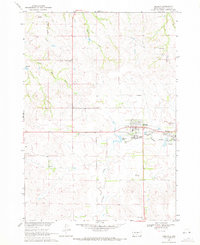
1969 · Mission
USGS Topo · 1:24,000

1969 · Olsonville NW
USGS Topo · 1:24,000

1982 · Mission NE
USGS Topo · 1:24,000
1982 · Olsonville
USGS Topo · 1:24,000
1982 · Hidden Timber
USGS Topo · 1:24,000
1982 · Okreek
USGS Topo · 1:25,000

1982 · Wood South
USGS Topo · 1:24,000