
1982 Map of Hidden Timber SE
USGS Topo · Published 1982About this map
The Indian Reservation Boundary defines the southern extent of this landscape, marking the intersection of indigenous lands and state borders. Flowing through the northern terrain, Eagle Creek meanders across a series of surveyed sections, while Sand Creek (also labeled Sand Cr) drains the southern reaches near the South Dakota Nebraska line. This 1982 provisional survey captures a sparsely populated region primarily characterized by its drainage patterns and administrative divisions. The transition between Todd Co and Cherry Co reflects the rural character of the Great Plains, where natural features like the local creeks serve as primary landmarks in an area dominated by open range and section-line navigation.
Find a feature on this map
8 named features on this map. Tap any name to fly to it.
Don’t see what you’re looking for? This feature index may not catch every label — zoom into the map to look around manually.
Map Details
Editions of this 1982 Hidden Timber SE Map
This is the sole edition of this map. No revisions or reprints were ever made.
Other maps of this area

1950 · Norden
USGS Topo · 1:62,500

1950 · Sparks
USGS Topo · 1:62,500

1952 · Norden
USGS Topo · 1:62,500

1955 · Martin
USGS Topo · 1:250,000

1957 · Valentine
USGS Topo · 1:250,000

1958 · Martin
USGS Topo · 1:250,000

1959 · Valentine
USGS Topo · 1:250,000

1982 · Hidden Timber
USGS Topo · 1:24,000
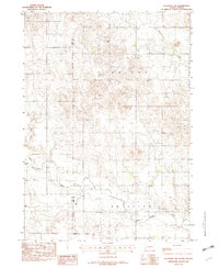
1982 · Keyapaha NW
USGS Topo · 1:24,000
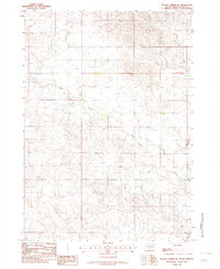
1982 · Hidden Timber NE
USGS Topo · 1:24,000