Loading...
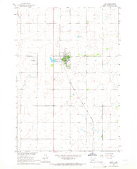
Loading map...1965 Map of Onaka
USGS Topo · Published 1966About this map
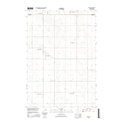
Onida serves as the focal point for this mid-1960s study of the Sully County landscape, revealing a well-defined grid of streets and municipal infrastructure. The town's connection to the broader region is facilitated by the Chicago and North Western railroad line, which runs north-south through the territory. On the eastern edge of the community, the County Fairground and a Radio Tower stand out as notable landmarks, while the Onida Municipal Airport is located to the west.
Find a feature on this map
9 named features on this map. Tap any name to fly to it.
Don’t see what you’re looking for? This feature index may not catch every label — zoom into the map to look around manually.
Map Details
Date Portrayed1965
Date Published1966
PublisherU.S. Geological Survey
Map TypeTopographic
Scale1:24,000
Physical Dimensions21.8 x 27 inches
Editions of this 1965 Onaka Map
This is the sole edition of this map. No revisions or reprints were ever made.
Historical Maps of Onaka Through Time
7 maps found
Featured Locations
Source Details
SourceU.S. Geological Survey
CopyrightPublic Domain