
1978 Map of Loyalton
USGS Topo · Published 1978About this map
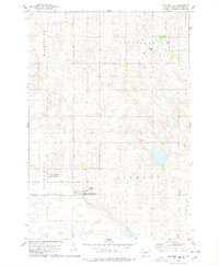
Loyalton sits as the central settlement in this late-1970s survey of Edmunds County, South Dakota. The village is defined by its position along the Chicago Milwaukee St Paul and Pacific railroad, which cuts a southeast path through the township of Vermont. The landscape is a prairie mosaic of countless small wetlands and depressions, interspersed with numerous Gravel Pits that suggest a reliance on local aggregate for road building and maintenance during this era.
Find a feature on this map
9 named features on this map. Tap any name to fly to it.
Don’t see what you’re looking for? This feature index may not catch every label — zoom into the map to look around manually.
Map Details
Editions of this 1978 Loyalton Map
This is the sole edition of this map. No revisions or reprints were ever made.
Other maps of this area

1950 · Onaka
USGS Topo · 1:24,000

1951 · Clark Lake
USGS Topo · 1:24,000

1952 · Onaka
USGS Topo · 1:24,000

1952 · Norbeck
USGS Topo · 1:24,000

1954 · Aberdeen
USGS Topo · 1:250,000

1956 · Aberdeen
USGS Topo · 1:250,000

1965 · Onaka
USGS Topo · 1:24,000

1974 · Roscoe
USGS Topo · 1:24,000

1974 · Roscoe SW
USGS Topo · 1:24,000
1978 · Stafford Dam
USGS Topo · 1:24,000