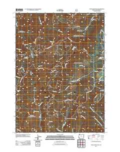
2011 Map of Onion Mountain
USGS Topo · Published 2011About this map
Onion Mountain and the high ridges of Josephine County define this landscape of narrow canyons and complex hydrology as it appeared in the early 21st century. The map is heavily marked by the legacy of resource extraction, with several named mining sites including the Flanagan Mine and Murry Mine in the north, and the Ramsey Mine and Buckeye Mine further south. These sites sit at the headwaters of numerous drainages such as Pickett Creek and Shan Creek, which carve deep recesses like Midnight Gulch.
Find a feature on this map
57 named features on this map. Tap any name to fly to it.
Don’t see what you’re looking for? This feature index may not catch every label — zoom into the map to look around manually.
Map Details
Editions of this 2011 Onion Mountain Map
This is the sole edition of this map. No revisions or reprints were ever made.
Other maps of this area

1904 · Riddle
USGS Topo · 1:125,000

1908 · Grants Pass
USGS Topo · 1:125,000

1917 · Kerby
USGS Topo · 1:125,000

1918 · Kerby
USGS Topo · 1:125,000

1945 · Kerby
USGS Topo · 1:125,000

1946 · Galice
USGS Topo · 1:62,500

1948 · Galice
USGS Topo · 1:62,500

1954 · Glendale
USGS Topo · 1:62,500

1954 · Selma
USGS Topo · 1:62,500

1954 · Grants Pass
USGS Topo · 1:62,500