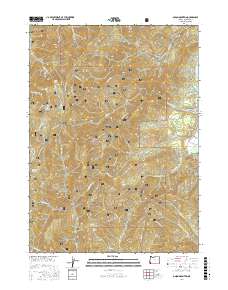
2017 Map of Onion Mountain
USGS Topo · Published 2017About this map
Onion Mountain dominates the western half of this Josephine County terrain, where the steep canyons of the Siskiyou National Forest are carved by an intricate network of creeks and gulches. The landscape is defined by the drainage systems of Taylor Creek and Slate Creek, flowing through deeply etched valleys toward the Rogue River at the eastern edge. Several seasonal or perennial water sources, such as Onion Spring, Rattlesnake Spring, and Root Spring, indicate the hydrological importance of these high ridges.
Find a feature on this map
52 named features on this map. Tap any name to fly to it.
Don’t see what you’re looking for? This feature index may not catch every label — zoom into the map to look around manually.
Map Details
Editions of this 2017 Onion Mountain Map
This is the sole edition of this map. No revisions or reprints were ever made.
Other maps of this area
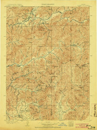
1904 · Riddle
USGS Topo · 1:125,000
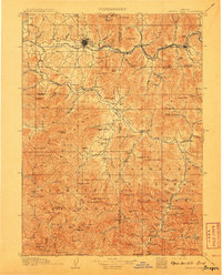
1908 · Grants Pass
USGS Topo · 1:125,000
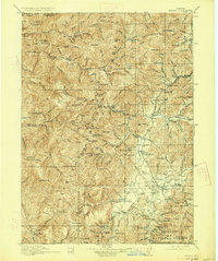
1917 · Kerby
USGS Topo · 1:125,000
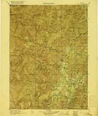
1918 · Kerby
USGS Topo · 1:125,000
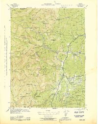
1945 · Kerby
USGS Topo · 1:125,000
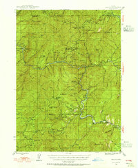
1946 · Galice
USGS Topo · 1:62,500
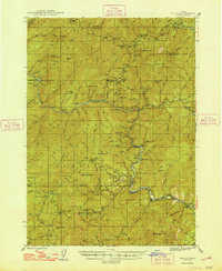
1948 · Galice
USGS Topo · 1:62,500
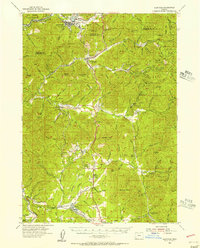
1954 · Glendale
USGS Topo · 1:62,500
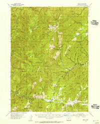
1954 · Selma
USGS Topo · 1:62,500
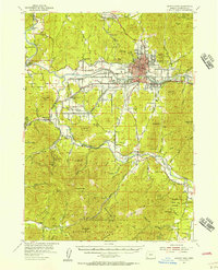
1954 · Grants Pass
USGS Topo · 1:62,500