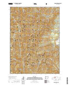
2020 Map of Onion Mountain
USGS Topo · Published 2020About this map
Onion Mtn serves as a central high point in this 2020 survey of the Siskiyou National Forest, where steep drainages and isolated springs define the terrain. The eastern edge of the map is bordered by the Rogue Wild and Scenic River, accessible via Riverbanks Rd. This modern map details the intricate network of forest service and bureau roads, including BLM Rd 35-7-17 and Shan Creek Rd, which provide access to localized landmarks like Taylor Creek Falls and the Walters Creek Interpretive site.
Find a feature on this map
51 named features on this map. Tap any name to fly to it.
Don’t see what you’re looking for? This feature index may not catch every label — zoom into the map to look around manually.
Map Details
Editions of this 2020 Onion Mountain Map
This is the sole edition of this map. No revisions or reprints were ever made.
Other maps of this area
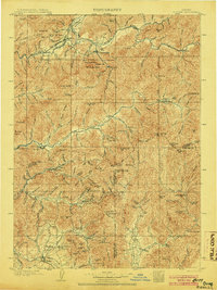
1904 · Riddle
USGS Topo · 1:125,000
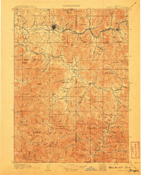
1908 · Grants Pass
USGS Topo · 1:125,000
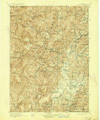
1917 · Kerby
USGS Topo · 1:125,000
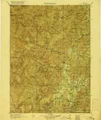
1918 · Kerby
USGS Topo · 1:125,000
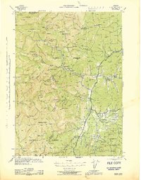
1945 · Kerby
USGS Topo · 1:125,000
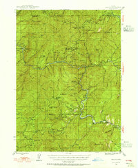
1946 · Galice
USGS Topo · 1:62,500
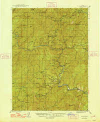
1948 · Galice
USGS Topo · 1:62,500
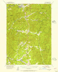
1954 · Glendale
USGS Topo · 1:62,500
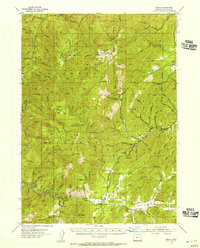
1954 · Selma
USGS Topo · 1:62,500
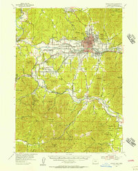
1954 · Grants Pass
USGS Topo · 1:62,500