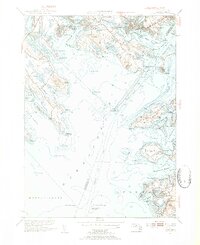
1953 Map of Onset
USGS Topo · Published 1954About this map
Onset and the surrounding coastline of Buzzards Bay are characterized by a dense network of harbors, necks, and tidal inlets at the midpoint of the twentieth century. The landscape reveals the established maritime and recreational character of the region, from the seasonal developments at Parkwood Beach and Hamilton Beach to the institutional grounds of the Sacred Heart Seminary overlooking the water. The intricate geography of the shoreline is marked by prominent features like Sippican Neck, where the Kittansett Golf Club and Beverly Yacht Club define the local social landscape.
Find a feature on this map
115 named features on this map. Tap any name to fly to it.
Don’t see what you’re looking for? This feature index may not catch every label — zoom into the map to look around manually.
Map Details
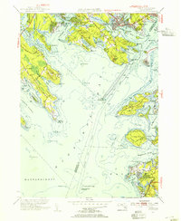
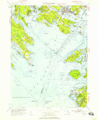
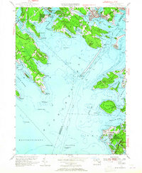
Editions of this 1953 Onset Map
4 editions found
Other maps of this area

1885 · New Bedford
USGS Topo · 1:62,500

1885 · Middleboro
USGS Topo · 1:62,500

1886 · Falmouth
USGS Topo · 1:62,500

1886 · Plymouth
USGS Topo · 1:62,500

1888 · New Bedford
USGS Topo · 1:62,500

1888 · Falmouth
USGS Topo · 1:62,500

1888 · Middleboro
USGS Topo · 1:62,500

1889 · Plymouth
USGS Topo · 1:62,500

1893 · Middleboro
USGS Topo · 1:62,500

1893 · Falmouth
USGS Topo · 1:62,500