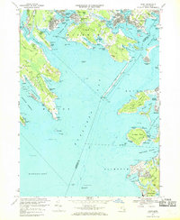
1967 Map of Onset
USGS Topo · Published 1969About this map
The Weweantic River and Wareham River drain into the northern reaches of Buzzards Bay, defining a coastal landscape dominated by tidal necks and seasonal beach settlements. By the late 1960s, the shoreline from Briarwood Beach to Old Silver Beach shows a dense network of cottages and summer communities, contrasted by the enduring industrial presence of numerous Cranberry Bogs inland. The Cape Cod Canal entrance is a focal point of maritime activity, supported by the Maritime Academy and the prominent Stony Point Dike. Notable local landmarks like the Sacred Heart Seminary near The Widows Cove and the Agawam Cem provide points of interest for genealogists tracing family roots in this corner of Plymouth and Barnstable counties. The map captures the region's transition into a mature maritime and recreational hub before further modern development altered the historic waterfront profile.
Find a feature on this map
139 named features on this map. Tap any name to fly to it.
Don’t see what you’re looking for? This feature index may not catch every label — zoom into the map to look around manually.
Map Details
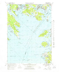
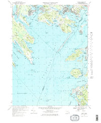
Editions of this 1967 Onset Map
3 editions found
Other maps of this area

1885 · New Bedford
USGS Topo · 1:62,500

1885 · Middleboro
USGS Topo · 1:62,500

1886 · Falmouth
USGS Topo · 1:62,500

1886 · Plymouth
USGS Topo · 1:62,500

1888 · New Bedford
USGS Topo · 1:62,500

1888 · Falmouth
USGS Topo · 1:62,500

1888 · Middleboro
USGS Topo · 1:62,500

1889 · Plymouth
USGS Topo · 1:62,500

1893 · Middleboro
USGS Topo · 1:62,500

1893 · Falmouth
USGS Topo · 1:62,500