Loading...
Loading map...2023 Map of Onsted
USGS Topo · Published 2023About this map
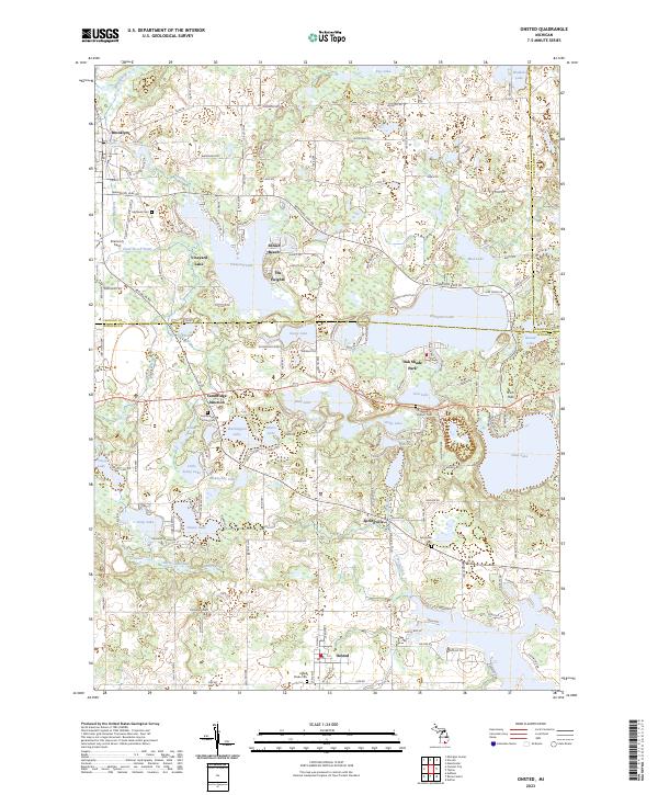
Onsted and the surrounding lake country of Lenawee County are defined by an intricate network of glacial kettle lakes and wetland drainage systems. The landscape is dotted with established residential pockets like The Heights and Sunset Beach, centered around prominent water bodies such as Vineyard Lake and Wamplers Lake. This area serves as a significant recreational and agricultural corridor, indicated by the extensive holdings of the Farm Service Agency Interest of Michigan.
Find a feature on this map
152 named features on this map. Tap any name to fly to it.
Don’t see what you’re looking for? This feature index may not catch every label — zoom into the map to look around manually.
Map Details
Date Portrayed2023
Date Published2023
PublisherU.S. Geological Survey
Map TypeTopographic
Scale1:24000
Physical Dimensions24 x 29 inches
Editions of this 2023 Onsted Map
This is the sole edition of this map. No revisions or reprints were ever made.
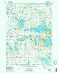
Historical Maps of Onsted Through Time
Featured Locations
- Cambridge Township, MI
- Franklin Township, MI
- Manchester Township, MI
- Onsted, Cambridge Township
- Brooklyn, Columbia Township
Source Details
SourceU.S. Geological Survey
CopyrightPublic Domain