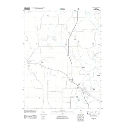
2011 Map of Oolitic
USGS Topo · Published 2011About this map
Oolitic anchors this portion of Lawrence County, where the landscape is defined by the winding course of Salt Creek and its many tributaries. The area's agricultural and academic history is highlighted by the Purdue University Experimental Farm south of Avoca, situated near the distinctive terrain of Dark Hollow. These features reflect a region deeply integrated with its land and natural resources, from the limestone-associated naming of settlements like Oolitic to the research conducted on its soils.
Find a feature on this map
83 named features on this map. Tap any name to fly to it.
Don’t see what you’re looking for? This feature index may not catch every label — zoom into the map to look around manually.
Map Details
Editions of this 2011 Oolitic Map
This is the sole edition of this map. No revisions or reprints were ever made.
Other maps of this area

1908 · Bloomington
USGS Topo · 1:48,000

1910 · Bloomington
USGS Topo · 1:62,500

1934 · Bedford
USGS Topo · 1:48,000

1935 · Oolitic
USGS Topo · 1:48,000

1937 · Bedford
USGS Topo · 1:62,500

1942 · Franklin
USGS Topo · 1:125,000

1942 · Oolitic
USGS Topo · 1:62,500

1947 · Allens Creek
USGS Topo · 1:24,000

1953 · Indianapolis
USGS Topo · 1:250,000

1956 · Indianapolis
USGS Topo · 1:250,000