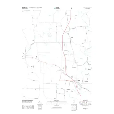
2013 Map of Oolitic
USGS Topo · Published 2013About this map
The limestone-rich landscape of Lawrence County is meticulously detailed here, centered on the historic town of Oolitic. This 2013 survey illustrates the dense residential clusters of East Oolitic and the nearby community of Avoca, connected by State Road 37. The terrain is defined by prominent elevations like Red Hill and Maul Hill, as well as the distinct depressions of Dark Hollow and Diehl Hollow.
Find a feature on this map
117 named features on this map. Tap any name to fly to it.
Don’t see what you’re looking for? This feature index may not catch every label — zoom into the map to look around manually.
Map Details
Editions of this 2013 Oolitic Map
This is the sole edition of this map. No revisions or reprints were ever made.
Other maps of this area

1908 · Bloomington
USGS Topo · 1:48,000

1910 · Bloomington
USGS Topo · 1:62,500

1934 · Bedford
USGS Topo · 1:48,000

1935 · Oolitic
USGS Topo · 1:48,000

1937 · Bedford
USGS Topo · 1:62,500

1942 · Franklin
USGS Topo · 1:125,000

1942 · Oolitic
USGS Topo · 1:62,500

1947 · Allens Creek
USGS Topo · 1:24,000

1953 · Indianapolis
USGS Topo · 1:250,000

1956 · Indianapolis
USGS Topo · 1:250,000