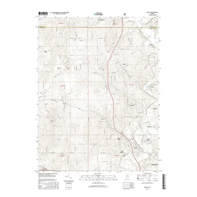
2016 Map of Oolitic
USGS Topo · Published 2016About this map
Salt Creek meanders through this landscape, carving a valley that separates the northern uplands from the established quarrying centers of Oolitic and Bedford. The map records a dense network of small communities and family landmarks, including Harrodsburg, Judah, and Needmore, alongside rural burial sites such as Mount Zion Cem and Brinegar Cem. The southern edge of the survey transitions into the protected landscape of the Hoosier National Forest, reflecting the balance between resource extraction and conservation.
Find a feature on this map
148 named features on this map. Tap any name to fly to it.
Don’t see what you’re looking for? This feature index may not catch every label — zoom into the map to look around manually.
Map Details
Editions of this 2016 Oolitic Map
This is the sole edition of this map. No revisions or reprints were ever made.
Other maps of this area

1908 · Bloomington
USGS Topo · 1:48,000

1910 · Bloomington
USGS Topo · 1:62,500

1934 · Bedford
USGS Topo · 1:48,000

1935 · Oolitic
USGS Topo · 1:48,000

1937 · Bedford
USGS Topo · 1:62,500

1942 · Franklin
USGS Topo · 1:125,000

1942 · Oolitic
USGS Topo · 1:62,500

1947 · Allens Creek
USGS Topo · 1:24,000

1953 · Indianapolis
USGS Topo · 1:250,000

1956 · Indianapolis
USGS Topo · 1:250,000