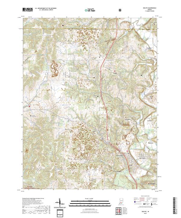
2022 Map of Oolitic
USGS Topo · Published 2022About this map
The limestone heritage of Lawrence County is evident across this modern survey of the Oolitic region, where the terrain transitions from the edges of the Hoosier National Forest into a complex of historic settlements. The map details a landscape defined by sharp topographical features like Dark Hollow, Hog Hollow, and Maul Hill, which have long influenced the local road network and industrial development. Numerous small communities, many established around the turn of the last century, remain distinct on the landscape, including Needmore, Peerless, and Avoca.
Find a feature on this map
156 named features on this map. Tap any name to fly to it.
Don’t see what you’re looking for? This feature index may not catch every label — zoom into the map to look around manually.
Map Details
Editions of this 2022 Oolitic Map
This is the sole edition of this map. No revisions or reprints were ever made.
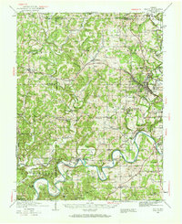
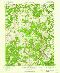
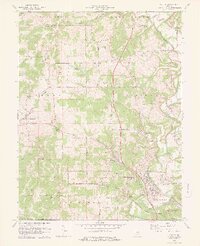
Historical Maps of Peerless Through Time
5 maps found