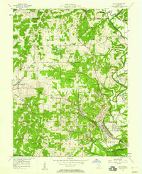
1957 Map of Oolitic
USGS Topo · Published 1969About this map
Stone quarrying and rail transport define the landscape of this mid-century Lawrence County survey. The town of Oolitic sits at the heart of the limestone belt, surrounded by numerous quarries and industrial hollows like Dark Hollow and Diehl Hollow. The intersection of the Monon and the Milwaukee, St Paul and Pacific railroads facilitated the movement of stone from sites near Peerless and Murdock.
Find a feature on this map
56 named features on this map. Tap any name to fly to it.
Don’t see what you’re looking for? This feature index may not catch every label — zoom into the map to look around manually.
Map Details
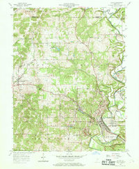
Editions of this 1957 Oolitic Map
2 editions found
Other maps of this area

1908 · Bloomington
USGS Topo · 1:48,000

1910 · Bloomington
USGS Topo · 1:62,500

1934 · Bedford
USGS Topo · 1:48,000

1935 · Oolitic
USGS Topo · 1:48,000

1937 · Bedford
USGS Topo · 1:62,500

1942 · Franklin
USGS Topo · 1:125,000

1942 · Oolitic
USGS Topo · 1:62,500

1947 · Allens Creek
USGS Topo · 1:24,000

1953 · Indianapolis
USGS Topo · 1:250,000

1956 · Indianapolis
USGS Topo · 1:250,000