Loading...
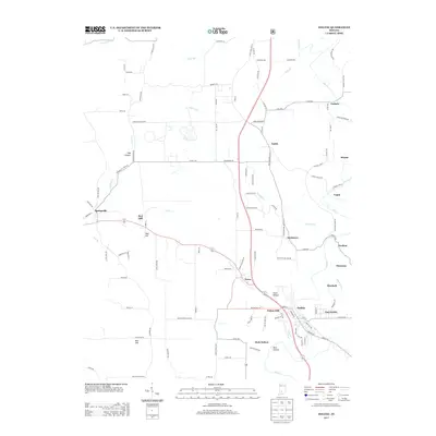
Loading map...1935 Map of Oolitic
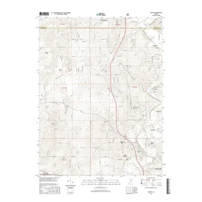
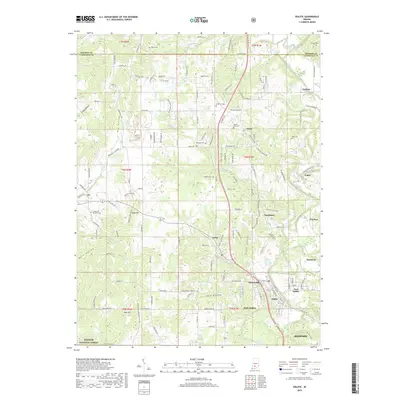
USGS Topo · Published 1968About this map
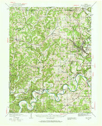
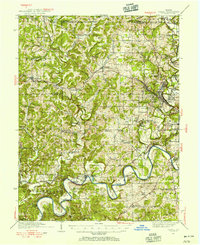
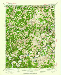
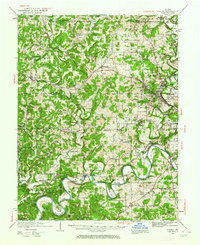
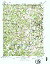
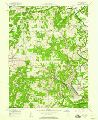
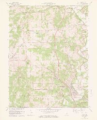
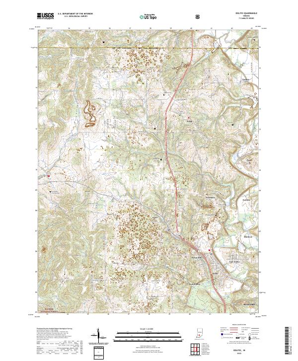
Oolitic and its surrounding limestone district define the eastern edge of this mid-1930s survey, where industrial activity like the Dark Hollow Quarry and Eureka Quarry sit alongside rural landmarks. The landscape is characterized by the winding path of the White River and its East Fork, which carve through the terrain at Horseshoe Bend and Hooper Bend. Transportation and infrastructure are heavily marked by the Chicago, Milwaukee, and Pacific rail lines that connected these stone-quarrying towns to broader markets.
Find a feature on this map
110 named features on this map. Tap any name to fly to it.
Don’t see what you’re looking for? This feature index may not catch every label — zoom into the map to look around manually.
Map Details
Date Portrayed1935
Date Published1968
PublisherU.S. Geological Survey
Map TypeTopographic
Scale1:62,500
Physical Dimensions17.1 x 20.9 inches
Editions of this 1935 Oolitic Map
6 editions found

Historical Maps of Bedford Through Time
9 maps found

Featured Locations
Source Details
SourceU.S. Geological Survey
CopyrightPublic Domain