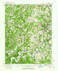
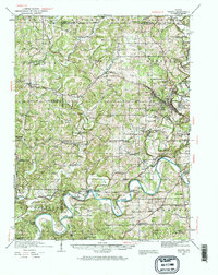
1935 Map of Oolitic
USGS Topo · Published 1964About this map
Oolitic and its surrounding limestone district are defined by heavy industrial activity in the mid-1930s, particularly evident in the concentration of stone production sites like Walsh Quarry and Reed Kurrie Quarry. The landscape is etched by the Chicago Indianapolis and Louisville railroad, which served the numerous quarries through the Dark Hollow region. Further south, the East Fork White River carves dramatic loops through the terrain at Henshaw Bend and Horseshoe Bend, where local engineering is marked by crossings such as Williams Bridge and Stumphole Bridge. The map reveals a densely settled rural society supported by numerous small schools and churches, including Roach Sch, Trinity Sch, and Mt Pleasant Ch. Other notable civic and state installations include the State Fish Hatchery near Avoca and an Experiment Farm in the center of the quadrangle.
Find a feature on this map
110 named features on this map. Tap any name to fly to it.
Don’t see what you’re looking for? This feature index may not catch every label — zoom into the map to look around manually.
Map Details
Editions of this 1935 Oolitic Map
6 editions found
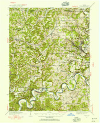
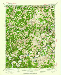
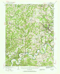
Other maps of this area

1908 · Bloomington
USGS Topo · 1:48,000

1908 · Bloomfield
USGS Topo · 1:62,500

1910 · Bloomington
USGS Topo · 1:62,500

1934 · Bedford
USGS Topo · 1:48,000

1935 · Oolitic
USGS Topo · 1:48,000

1937 · Bedford
USGS Topo · 1:62,500

1942 · Franklin
USGS Topo · 1:125,000

1942 · Oolitic
USGS Topo · 1:62,500

1947 · Allens Creek
USGS Topo · 1:24,000

1948 · Huron
USGS Topo · 1:24,000