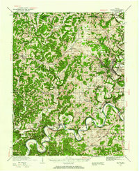
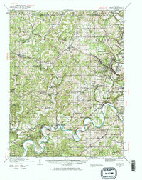
1935 Map of Oolitic
USGS Topo · Published 1960About this map
Industrial limestone production and rural river life converge in this 1930s survey of Lawrence County. Along the eastern edge, the topography is punctuated by the deep excavations of the Kubrie Quarry, Walsh Quarry, and Dark Hollow Quarry, highlighting the region's historic role in the Oolitic stone trade. This extraction zone sits in stark contrast to the winding path of the White River in the south, where sharp meanders like Horseshoe Bend and Henshaw Bend dictate the movement of local transit and trade.
Find a feature on this map
96 named features on this map. Tap any name to fly to it.
Don’t see what you’re looking for? This feature index may not catch every label — zoom into the map to look around manually.
Map Details
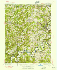
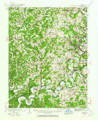
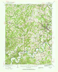
Editions of this 1935 Oolitic Map
6 editions found
Other maps of this area

1908 · Bloomington
USGS Topo · 1:48,000

1908 · Bloomfield
USGS Topo · 1:62,500

1910 · Bloomington
USGS Topo · 1:62,500

1934 · Bedford
USGS Topo · 1:48,000

1935 · Oolitic
USGS Topo · 1:48,000

1937 · Bedford
USGS Topo · 1:62,500

1942 · Franklin
USGS Topo · 1:125,000

1942 · Oolitic
USGS Topo · 1:62,500

1947 · Allens Creek
USGS Topo · 1:24,000

1948 · Huron
USGS Topo · 1:24,000