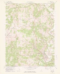
1978 Map of Oolitic
USGS Topo · Published 1978About this map
Stone quarrying and limestone industry hubs dominate this late 1970s landscape of Lawrence County. The concentration of operations around Oolitic and East Oolitic is evident, with numerous Quarry labels marking the terrain alongside the Louisville and Nashville and Chicago Milwaukee St Paul and Pacific railroads that served the region's mineral wealth. To the north, the terrain transitions into the agricultural and scientific grounds of the Purdue University Experimental Farm and the specialized Hill Top Ch State Fish Hatchery.
Find a feature on this map
61 named features on this map. Tap any name to fly to it.
Don’t see what you’re looking for? This feature index may not catch every label — zoom into the map to look around manually.
Map Details
Editions of this 1978 Oolitic Map
3 editions found
Other maps of this area

1908 · Bloomington
USGS Topo · 1:48,000

1910 · Bloomington
USGS Topo · 1:62,500

1934 · Bedford
USGS Topo · 1:48,000

1935 · Oolitic
USGS Topo · 1:48,000

1937 · Bedford
USGS Topo · 1:62,500

1942 · Franklin
USGS Topo · 1:125,000

1942 · Oolitic
USGS Topo · 1:62,500

1947 · Allens Creek
USGS Topo · 1:24,000

1953 · Indianapolis
USGS Topo · 1:250,000

1956 · Indianapolis
USGS Topo · 1:250,000