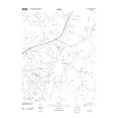
2013 Map of Ooltewah
USGS Topo · Published 2013About this map
Ooltewah and Collegedale serve as the primary hubs in this part of Hamilton County, showcasing a landscape where suburban development meets the steep ridges of the Appalachian foothills. The area is defined by its north-south trending topography, notably White Oak Mountain and Grindstone Mountain, which channel local waters like Wolftever Cr and its tributaries. The presence of the Collegedale Municipal Airport and the sprawling Volunteer Ordnance Works lands indicates a history of regional industry and transportation. Residential growth is evident in several named neighborhoods such as Yorktown Woods, Maplewood Heights, and Green Acres. Farther east, the terrain becomes more varied with features like Bauxite Ridge and Scroggins Hollow, while historical crossroads like Summit and Apison anchor the outlying areas near the Georgia border.
Find a feature on this map
50 named features on this map. Tap any name to fly to it.
Don’t see what you’re looking for? This feature index may not catch every label — zoom into the map to look around manually.
Map Details
Editions of this 2013 Ooltewah Map
This is the sole edition of this map. No revisions or reprints were ever made.
Other maps of this area

1886 · Dalton
USGS Topo · 1:125,000

1886 · Cleveland
USGS Topo · 1:125,000

1886 · Ringgold
USGS Topo · 1:125,000

1888 · Chattanooga
USGS Topo · 1:125,000

1892 · Ringgold
USGS Topo · 1:125,000

1892 · Cleveland
USGS Topo · 1:125,000

1892 · Dalton
USGS Topo · 1:125,000

1893 · Chattanooga
USGS Topo · 1:125,000

1895 · Cleveland
USGS Topo · 1:125,000

1897 · Dalton
USGS Topo · 1:125,000