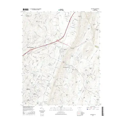
2016 Map of Ooltewah
USGS Topo · Published 2016About this map
White Oak Mountain and the surrounding ridges of Hamilton County define the landscape of this 2016 survey, where the suburban growth of Chattanooga meets the established communities of Ooltewah and Collegedale. The terrain is characterized by a series of parallel ridges and valleys, such as White Oak Valley and Rabbit Valley, which have historically dictated the placement of roads and settlements. Academic and civic life centers on the campus of Southern Adventist University and the nearby Collegedale Municipal Airport.
Find a feature on this map
258 named features on this map. Tap any name to fly to it.
Don’t see what you’re looking for? This feature index may not catch every label — zoom into the map to look around manually.
Map Details
Editions of this 2016 Ooltewah Map
This is the sole edition of this map. No revisions or reprints were ever made.
Other maps of this area
1886 · Dalton
USGS Topo · 1:125,000
1886 · Cleveland
USGS Topo · 1:125,000
1886 · Ringgold
USGS Topo · 1:125,000
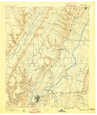
1888 · Chattanooga
USGS Topo · 1:125,000
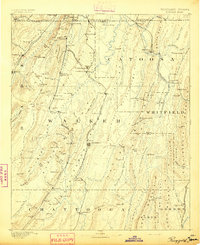
1892 · Ringgold
USGS Topo · 1:125,000
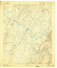
1892 · Cleveland
USGS Topo · 1:125,000
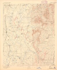
1892 · Dalton
USGS Topo · 1:125,000
1893 · Chattanooga
USGS Topo · 1:125,000
1895 · Cleveland
USGS Topo · 1:125,000
1897 · Dalton
USGS Topo · 1:125,000