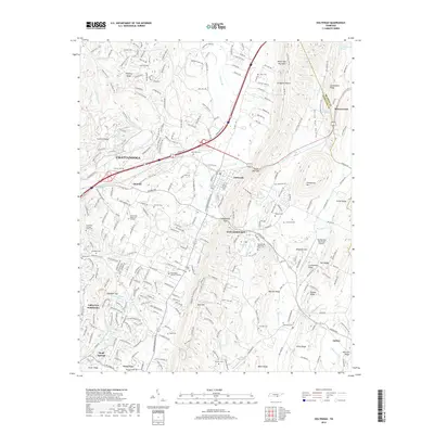
2019 Map of Ooltewah
USGS Topo · Published 2019About this map
White Oak Mountain and Grindstone Mtn dominate the eastern landscape of this Hamilton County region, shaping the development of Rabbit Valley and the surrounding ridgelines. This modern survey illustrates the residential expansion of eastern Chattanooga and the established communities of Collegedale and Ooltewah. The terrain is characterized by a series of parallel ridges including Bell Ridge, Bauxite Ridge, and Jones Ridge, which dictate the paths of local waterways like Wolftever Cr and Chestnut Cr.
Find a feature on this map
68 named features on this map. Tap any name to fly to it.
Don’t see what you’re looking for? This feature index may not catch every label — zoom into the map to look around manually.
Map Details
Editions of this 2019 Ooltewah Map
This is the sole edition of this map. No revisions or reprints were ever made.
Other maps of this area

1886 · Dalton
USGS Topo · 1:125,000

1886 · Cleveland
USGS Topo · 1:125,000

1886 · Ringgold
USGS Topo · 1:125,000

1888 · Chattanooga
USGS Topo · 1:125,000

1892 · Ringgold
USGS Topo · 1:125,000

1892 · Cleveland
USGS Topo · 1:125,000

1892 · Dalton
USGS Topo · 1:125,000

1893 · Chattanooga
USGS Topo · 1:125,000

1895 · Cleveland
USGS Topo · 1:125,000

1897 · Dalton
USGS Topo · 1:125,000