2022 Map of Ooltewah
USGS Topo · Published 2022About this map
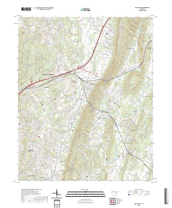
The ridge-and-valley landscape of eastern Hamilton County is defined by prominent elevations like White Oak Mountain and Grindstone Mtn, which channel development into corridors like Rabbit Valley. Modern infrastructure, including the I-75 corridor and the Norfolk Southern railway, navigates these natural gaps such as Standifer Gap and Collegedale Gap. The area is anchored by the campus of Southern Adventist University in Collegedale and the established community of Ooltewah.
Find a feature on this map
65 named features on this map. Tap any name to fly to it.
Don’t see what you’re looking for? This feature index may not catch every label — zoom into the map to look around manually.
Map Details
Editions of this 2022 Ooltewah Map
This is the sole edition of this map. No revisions or reprints were ever made.
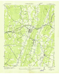
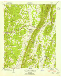
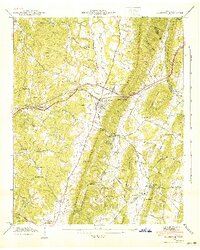
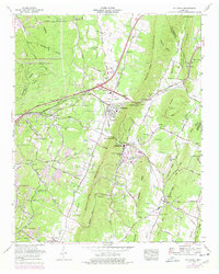
Historical Maps of Apison Through Time
5 maps found