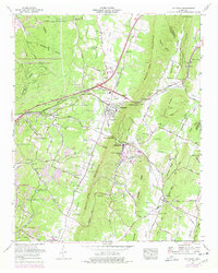
1964 Map of Ooltewah
USGS Topo · Published 1977About this map
The Volunteer Army Ammunition Plant dominates the northwestern landscape of this Tennessee quadrangle, its extensive network of roads and military reservation boundaries carving through the Summit Knobs and Dividing Ridge. This industrial presence contrasts sharply with the established educational and religious character of Collegedale and Ooltewah to the east. The campus of Southern Missionary College serves as a central landmark in Rabbit Valley, while smaller communities like Apison and Ryall Springs define the rural residential pattern at the edge of the expanding Chattanooga suburbs.
Find a feature on this map
111 named features on this map. Tap any name to fly to it.
Don’t see what you’re looking for? This feature index may not catch every label — zoom into the map to look around manually.
Map Details
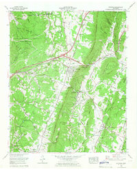
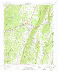
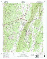
Editions of this 1964 Ooltewah Map
4 editions found
Other maps of this area

1886 · Dalton
USGS Topo · 1:125,000

1886 · Cleveland
USGS Topo · 1:125,000

1886 · Ringgold
USGS Topo · 1:125,000

1888 · Chattanooga
USGS Topo · 1:125,000

1892 · Ringgold
USGS Topo · 1:125,000

1892 · Cleveland
USGS Topo · 1:125,000

1892 · Dalton
USGS Topo · 1:125,000

1893 · Chattanooga
USGS Topo · 1:125,000

1895 · Cleveland
USGS Topo · 1:125,000

1897 · Dalton
USGS Topo · 1:125,000