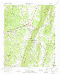
1964 Map of Ooltewah
USGS Topo · Published 1975About this map
White Oak Mountain dominates the center of this Hamilton County landscape, creating a natural barrier between the expanding community of Ooltewah and the rural reaches of Apison to the east. The mid-1960s geography captures a significant institutional footprint, most notably the Southern Missionary College campus and the Arthur W Spalding Sch in Collegedale. To the northwest, the massive Volunteer Ordnance Works reservation occupies a large portion of the terrain, while the newly constructed Interstate 75 begins to redefine local travel. Local history is deeply embedded in the map's smaller details, including numerous family-named landmarks like Sylar Cem, Plowman Cem, and Boyd Cem. The movement of people and industry is traced along the Southern Railway and historic corridors like Lee Highway, which pass through Dead Man Gap to connect these valley settlements.
Find a feature on this map
98 named features on this map. Tap any name to fly to it.
Don’t see what you’re looking for? This feature index may not catch every label — zoom into the map to look around manually.
Map Details
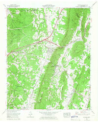
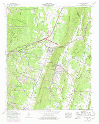
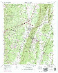
Editions of this 1964 Ooltewah Map
4 editions found
Other maps of this area

1886 · Dalton
USGS Topo · 1:125,000

1886 · Cleveland
USGS Topo · 1:125,000

1886 · Ringgold
USGS Topo · 1:125,000

1888 · Chattanooga
USGS Topo · 1:125,000

1892 · Ringgold
USGS Topo · 1:125,000

1892 · Cleveland
USGS Topo · 1:125,000

1892 · Dalton
USGS Topo · 1:125,000

1893 · Chattanooga
USGS Topo · 1:125,000

1895 · Cleveland
USGS Topo · 1:125,000

1897 · Dalton
USGS Topo · 1:125,000