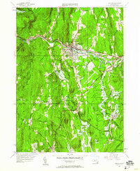
1948 Map of Orange
USGS Topo · Published 1958About this map
The Millers River corridor anchors this 1948 survey, where the Boston and Maine railroad tracks parallel the Mohawk Trail through the industrial heart of Orange. While the northern half of the sheet is defined by the dense settlement patterns of the river valley, the southern half reveals the dramatic transformation of the landscape following the creation of the Quabbin Reservoir. The presence of the Quabbin Res shoreline near New Salem indicates the loss of earlier valley settlements to the water, leaving behind upland hamlets like North New Salem and Morse Village. Local landmarks such as the CCC Camp in Erving and The Bears Den reflect the area's transition into a center for conservation and recreation. Genealogists will find interest in the scattered burial grounds and rural hubs like South Athol and Wendell Depot.
Find a feature on this map
73 named features on this map. Tap any name to fly to it.
Don’t see what you’re looking for? This feature index may not catch every label — zoom into the map to look around manually.
Map Details
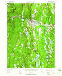
Editions of this 1948 Orange Map
2 editions found
Other maps of this area

1887 · Warwick
USGS Topo · 1:62,500

1887 · Belchertown
USGS Topo · 1:62,500

1887 · Winchendon
USGS Topo · 1:62,500

1887 · Barre
USGS Topo · 1:62,500

1889 · Barre
USGS Topo · 1:62,500

1889 · Warwick
USGS Topo · 1:62,500

1890 · Belchertown
USGS Topo · 1:62,500

1890 · Winchendon
USGS Topo · 1:62,500

1893 · Belchertown
USGS Topo · 1:62,500

1894 · Winchendon
USGS Topo · 1:62,500