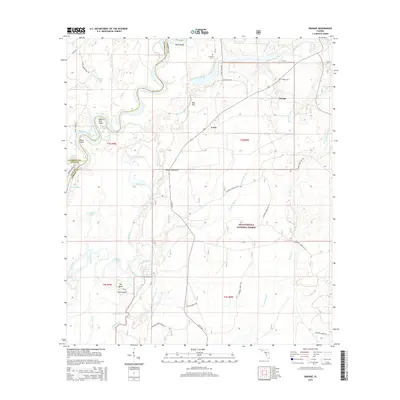
2015 Map of Orange
USGS Topo · Published 2015About this map
Apalachicola River oxbows and riverfront points like Queen City Point and Dicks Point define this swampy reach of the Panhandle where Liberty Co meets Calhoun Co. The landscape is a complex network of waterways, featuring the Florida River and numerous backwaters including Bills Arm, Larkin Slough, and Everett Slough. Small settlements such as Orange and Lewis sit on higher ground away from the floodplains, connected by rural routes like County Road 379. Local history is anchored by the Orange Cem and Humility Cem, which serve the scattered communities near the northern edge of the Apalachicola National Forest. This survey captures the hydrological character of the region, where named landmarks like Ricko Bluff and Red Hill rise above the wetlands and sloughs that dominate the western portion of the quadrangle.
Find a feature on this map
55 named features on this map. Tap any name to fly to it.
Don’t see what you’re looking for? This feature index may not catch every label — zoom into the map to look around manually.
Map Details
Editions of this 2015 Orange Map
This is the sole edition of this map. No revisions or reprints were ever made.
Other maps of this area
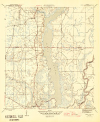
1945 · Dead Lake
USGS Topo · 1:31,680
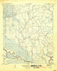
1945 · Kennedy Creek
USGS Topo · 1:31,680
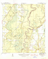
1945 · Estiffanulga
USGS Topo · 1:31,680
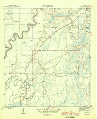
1945 · Orange
USGS Topo · 1:31,680
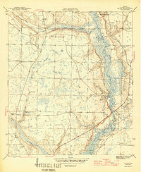
1945 · Frink
USGS Topo · 1:31,680
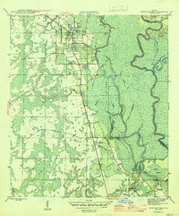
1945 · Wewahitchka
USGS Topo · 1:31,680
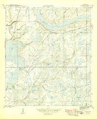
1945 · Woods
USGS Topo · 1:31,680
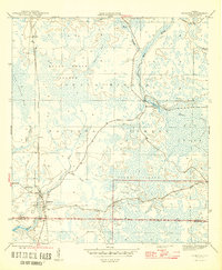
1946 · Sumatra
USGS Topo · 1:31,680
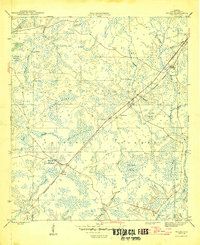
1946 · Wilma
USGS Topo · 1:31,680
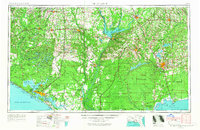
1954 · Tallahassee
USGS Topo · 1:250,000