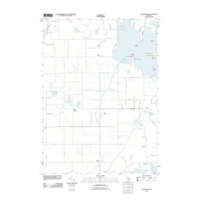
2011 Map of Orangeville
USGS Topo · Published 2011About this map
Gun Lake dominates the northeastern landscape of this quadrangle, characterized by a complex shoreline with numerous named points and islands including Blackbird Island and Yankee Springs Island. To the south and west, the terrain transitions into the Gun Plains, a low-lying area drained by the Gun River and its tributaries like Orangeville Creek and Greggs Brook. Small agricultural and residential clusters such as Orangeville, East Martin, and Hooper are connected by a grid of rural roads and state route M-222.
Find a feature on this map
73 named features on this map. Tap any name to fly to it.
Don’t see what you’re looking for? This feature index may not catch every label — zoom into the map to look around manually.
Map Details
Editions of this 2011 Orangeville Map
This is the sole edition of this map. No revisions or reprints were ever made.
Other maps of this area

1916 · Kalamazoo
USGS Topo · 1:62,500

1918 · Kalamazoo
USGS Topo · 1:62,500

1918 · Galesburg
USGS Topo · 1:62,500

1943 · Kalamazoo
USGS Topo · 1:62,500

1944 · Galesburg
USGS Topo · 1:62,500

1947 · Delton
USGS Topo · 1:24,000

1947 · Galesburg
USGS Topo · 1:62,500

1950 · Galesburg
USGS Topo · 1:62,500

1951 · Hastings
USGS Topo · 1:62,500

1958 · Grand Rapids
USGS Topo · 1:250,000