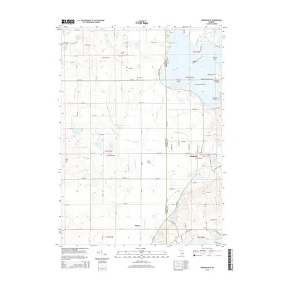
2014 Map of Orangeville
USGS Topo · Published 2014About this map
Gun Lake dominates the northeastern portion of this Michigan landscape, featuring several prominent landforms including Blackbird Island, Englands Point, and Yankee Springs Island. This 2014 survey reveals a transition between the clustered lakefront developments like Chicago Point and the inland agricultural grids of Gun Plains. The map is particularly useful for genealogical research, documenting numerous small burial grounds such as Oak Hill Cem, Messer Cem, and Lindsey Cem.
Find a feature on this map
79 named features on this map. Tap any name to fly to it.
Don’t see what you’re looking for? This feature index may not catch every label — zoom into the map to look around manually.
Map Details
Editions of this 2014 Orangeville Map
This is the sole edition of this map. No revisions or reprints were ever made.
Other maps of this area

1916 · Kalamazoo
USGS Topo · 1:62,500

1918 · Kalamazoo
USGS Topo · 1:62,500

1918 · Galesburg
USGS Topo · 1:62,500

1943 · Kalamazoo
USGS Topo · 1:62,500

1944 · Galesburg
USGS Topo · 1:62,500

1947 · Delton
USGS Topo · 1:24,000

1947 · Galesburg
USGS Topo · 1:62,500

1950 · Galesburg
USGS Topo · 1:62,500

1951 · Hastings
USGS Topo · 1:62,500

1958 · Grand Rapids
USGS Topo · 1:250,000