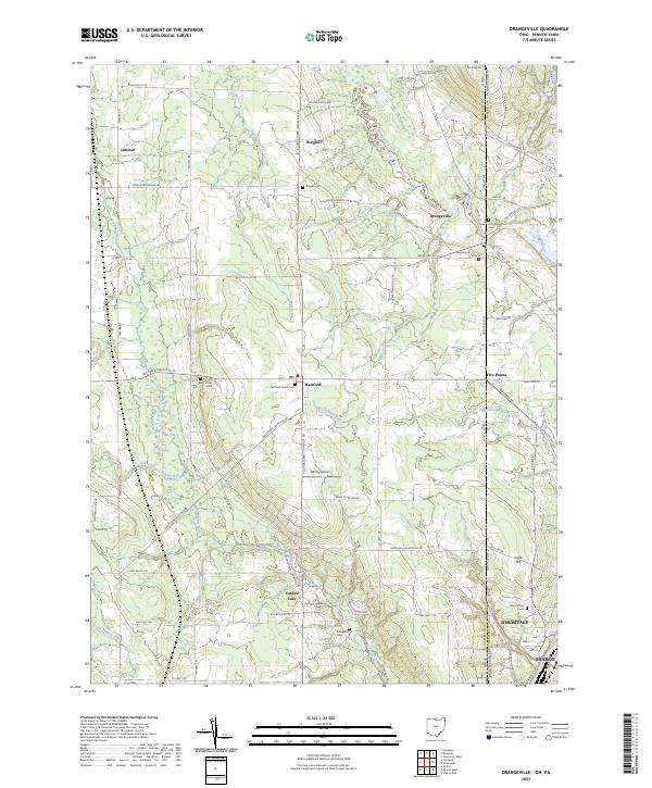
2023 Map of Orangeville
USGS Topo · Published 2023About this map
The borderlands of Trumbull County, Ohio, and Mercer County, Pennsylvania, are defined by the winding course of Pymatuning Creek and a network of rural settlements. This modern survey illustrates a landscape of agricultural heritage and small-town centers like Hartford and Burghill, where the distribution of family and community burial grounds provides significant genealogical value. Sites such as Artherholt Cem, West Street Cem, and Hartford Center Cem remain as physical anchors of local lineage. The topography is marked by gentle rises like Trautman Hill and Clark Hill, while the local transportation economy is evidenced by the presence of Kenley Airport and the village of Yankee Lake. As the terrain transitions toward the urban edges of Sharon and Hermitage in the southeast, the map captures the persistence of these historic townships amidst contemporary development.
Find a feature on this map
77 named features on this map. Tap any name to fly to it.
Don’t see what you’re looking for? This feature index may not catch every label — zoom into the map to look around manually.
Map Details
Editions of this 2023 Orangeville Map
This is the sole edition of this map. No revisions or reprints were ever made.
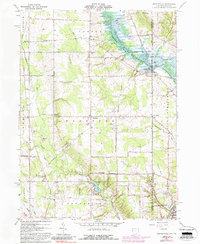
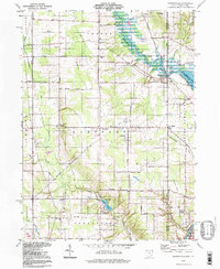
Historical Maps of Vernon Township Through Time
3 maps found