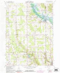
1961 Map of Orangeville
USGS Topo · Published 1988About this map
Orangeville straddles the Ohio Pennsylvania state line, serving as a focal point for this landscape of rural townships and rolling drainage basins. The Shenango River Reservoir dominates the northeastern corner, with fingers of water reaching toward Pymatuning Creek and Mill Creek. This 1961 survey, updated with photoinspected details in the early 1980s, highlights the local transition from agriculture to recreation and small-town industry. Local landmarks like the Sharon Speedway near Hartford and the resort-like character of Yankee Lake contrast with the established rural infrastructure of Burghill Cem and West Street Cem. The presence of the Conrail line through Latimer and the northern reaches of Sharon underscores the industrial connectivity of the Trumbull County and Mercer County borderlands during the late twentieth century.
Find a feature on this map
43 named features on this map. Tap any name to fly to it.
Don’t see what you’re looking for? This feature index may not catch every label — zoom into the map to look around manually.
Map Details
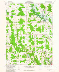
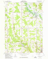
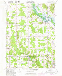
Editions of this 1961 Orangeville Map
4 editions found
Other maps of this area

1905 · Neshannock
USGS Topo · 1:62,500

1906 · Youngstown
USGS Topo · 1:62,500

1907 · Neshannock
USGS Topo · 1:62,500

1907 · Kinsman
USGS Topo · 1:62,500

1908 · Shenango
USGS Topo · 1:62,500

1908 · Youngstown
USGS Topo · 1:62,500

1950 · Cleveland
USGS Topo · 1:250,000

1954 · Sharon West
USGS Topo · 1:24,000

1954 · Girard
USGS Topo · 1:24,000

1956 · Cleveland
USGS Topo · 1:250,000