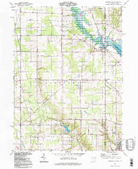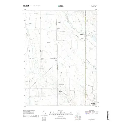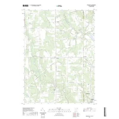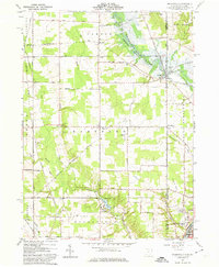
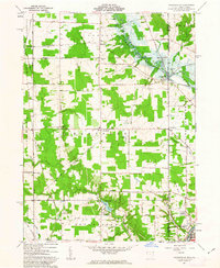
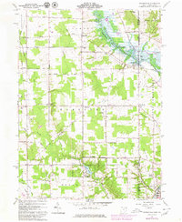
1961 Map of Orangeville
USGS Topo · Published 1975About this map
The Ohio Pennsylvania state line bisects this landscape, defined by the winding waters of the Shenango River Lake and the industrial infrastructure of the early 1960s. Rail lines like the New York Central and the Erie-Lackawanna cross the region, connecting rural crossroads such as Hartford and Burghill with the northern edge of Sharon. The mapping of the Shenango River Lake highlights the era’s water management and recreation projects, while the surrounding hills, including Trautman Hill and Clark Hill, remain dotted with family-named roads and small community landmarks.
Find a feature on this map
53 named features on this map. Tap any name to fly to it.
Don’t see what you’re looking for? This feature index may not catch every label — zoom into the map to look around manually.
Map Details
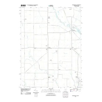
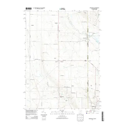
Editions of this 1961 Orangeville Map
4 editions found
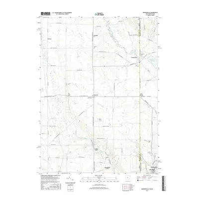
Historical Maps of Hermitage Through Time
7 maps found